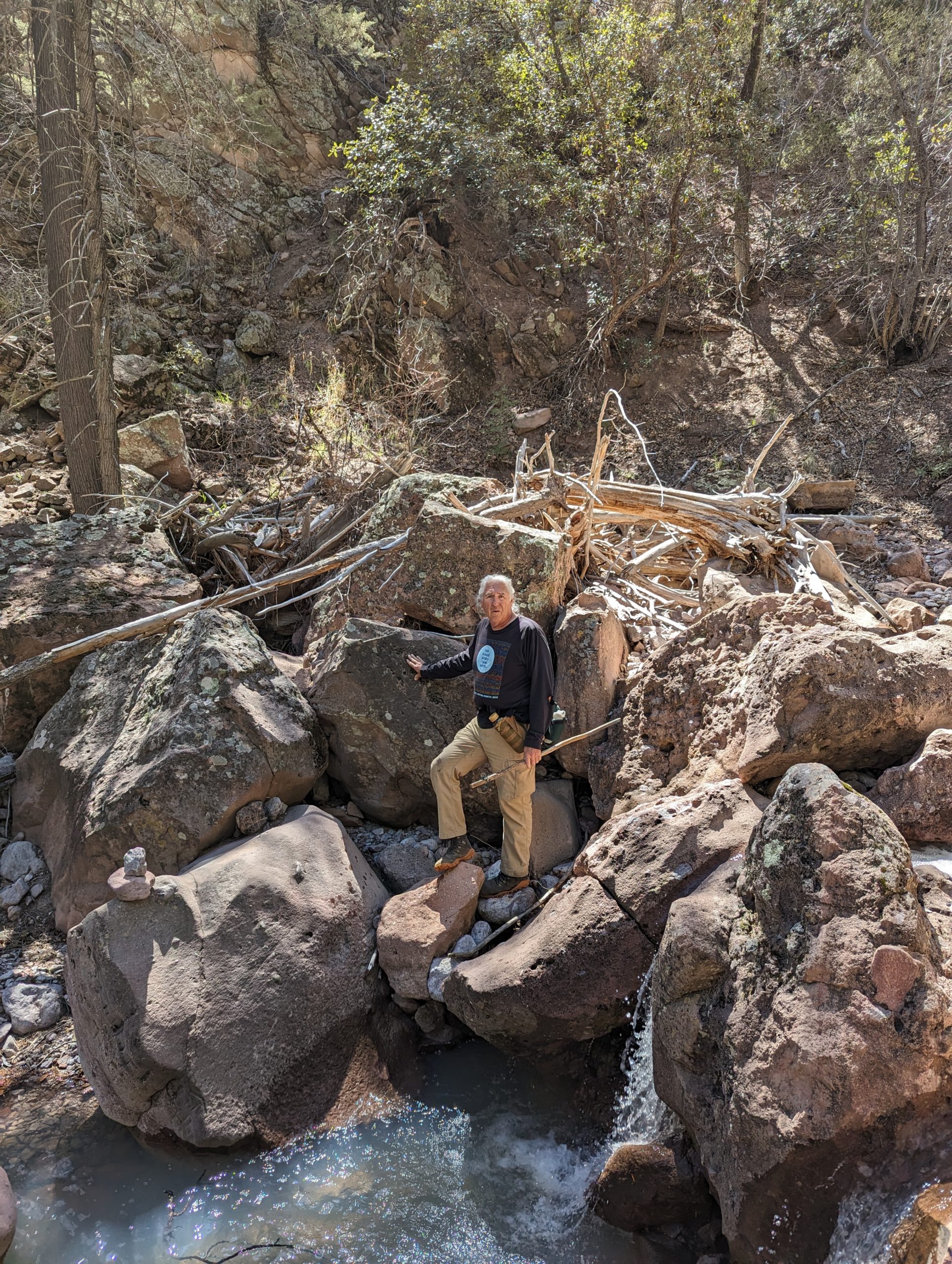
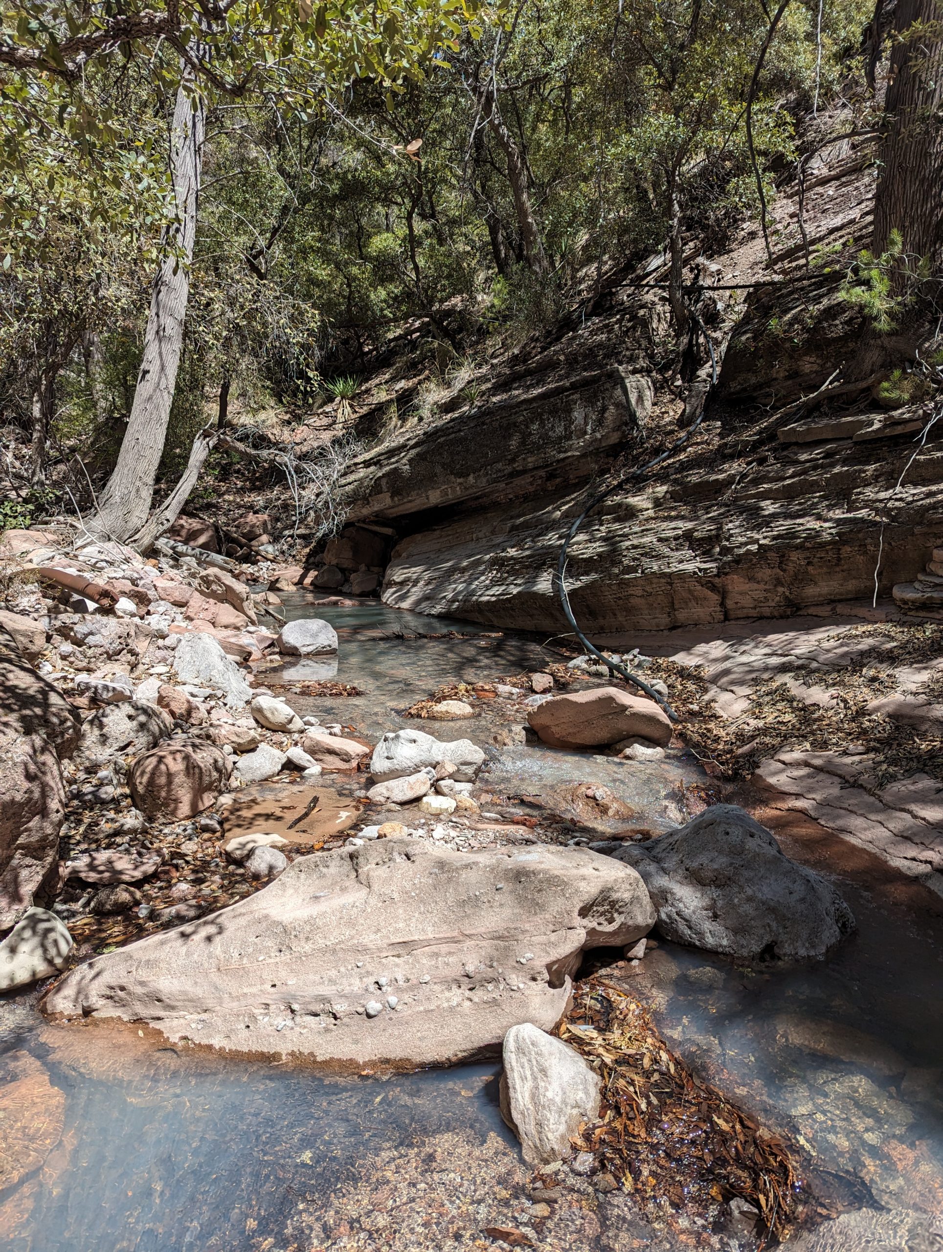
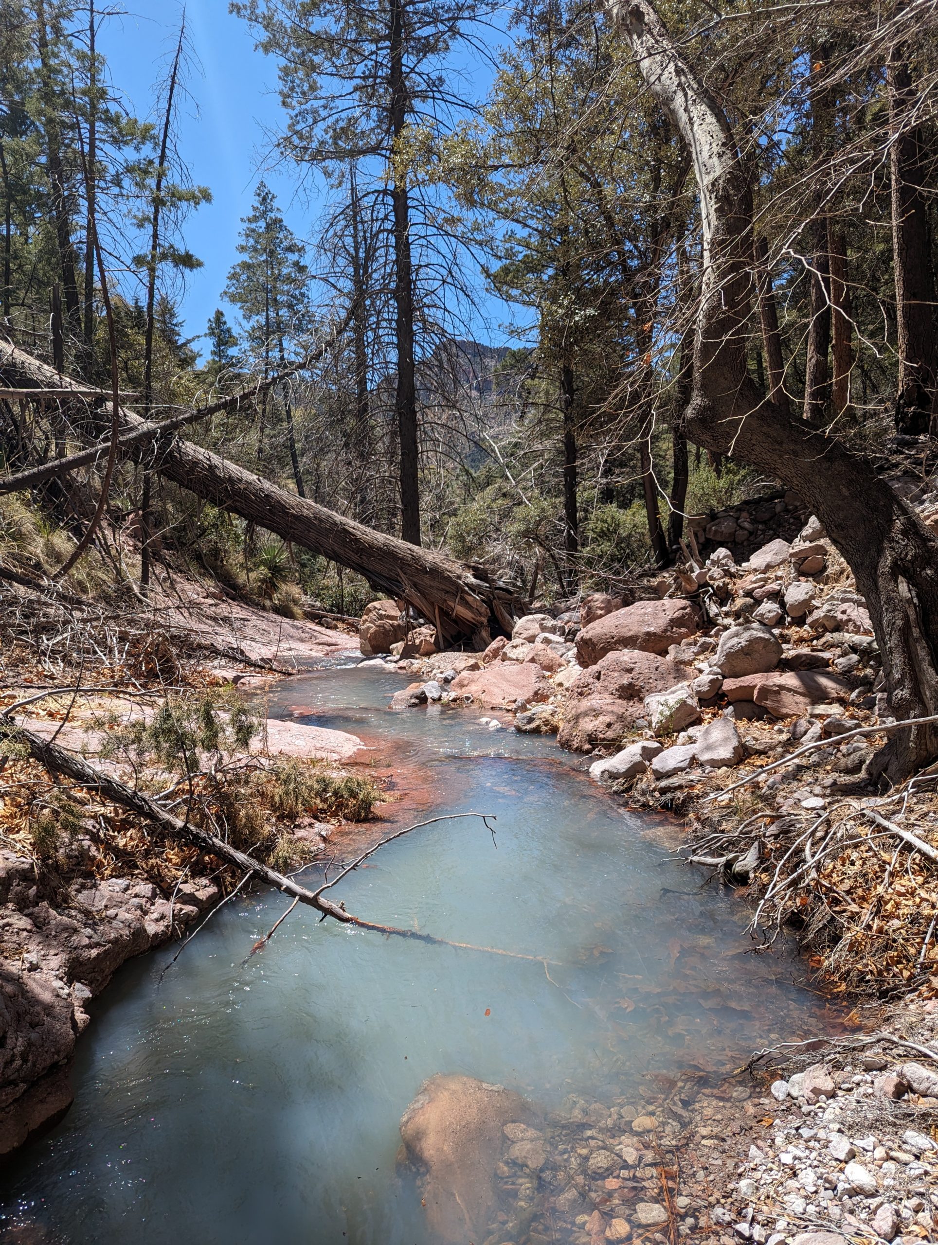
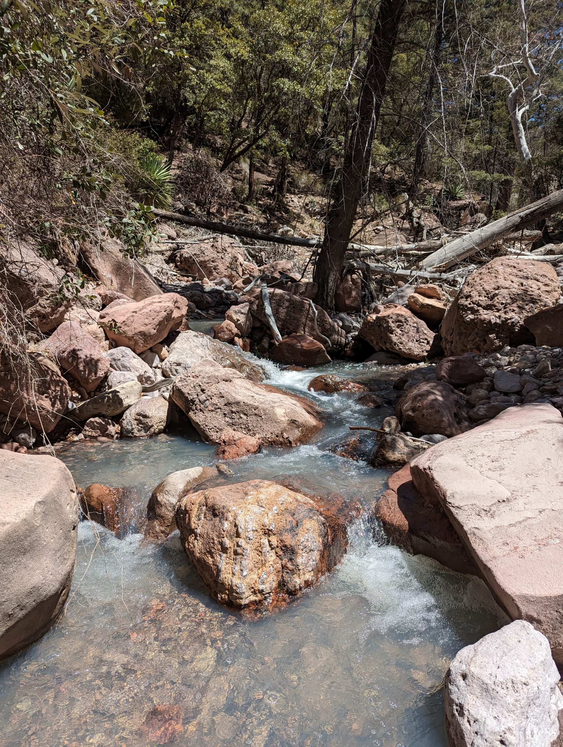
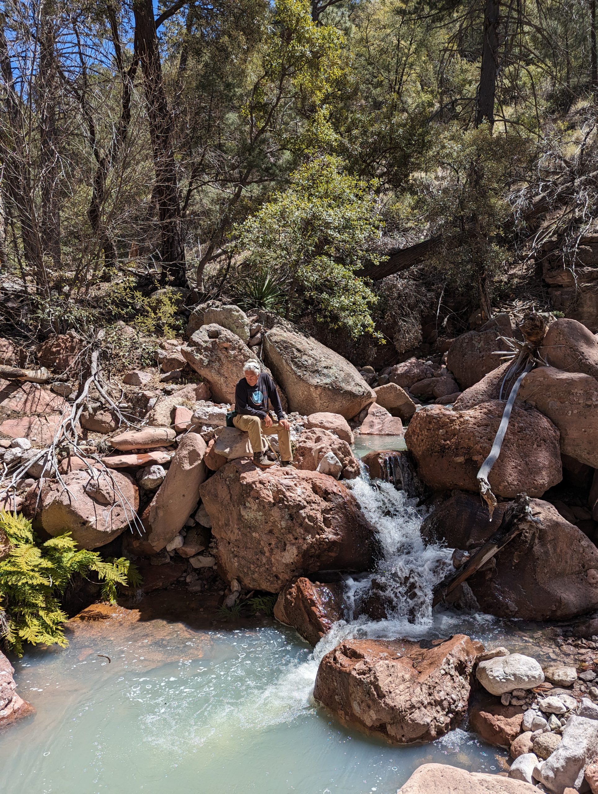
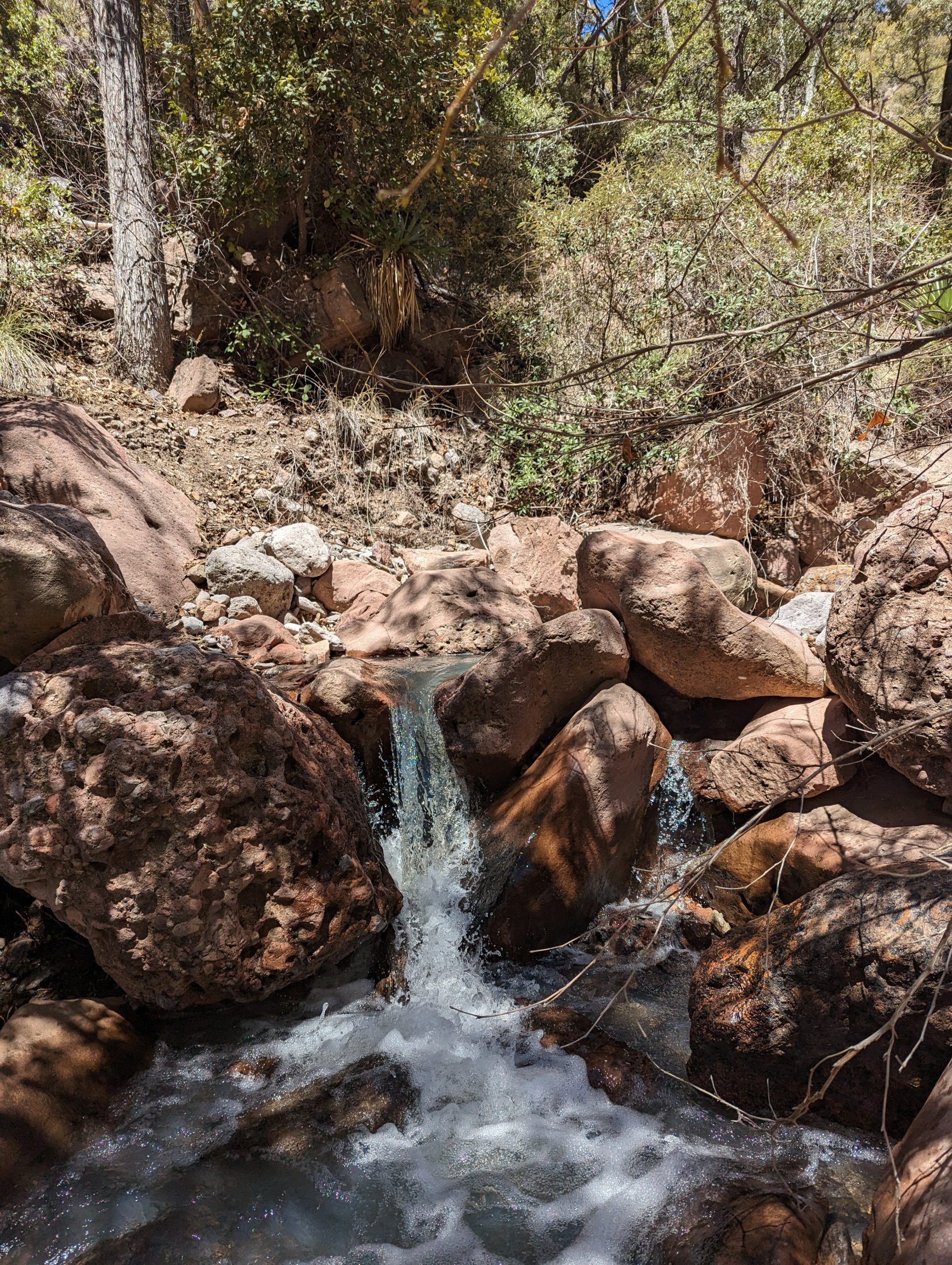
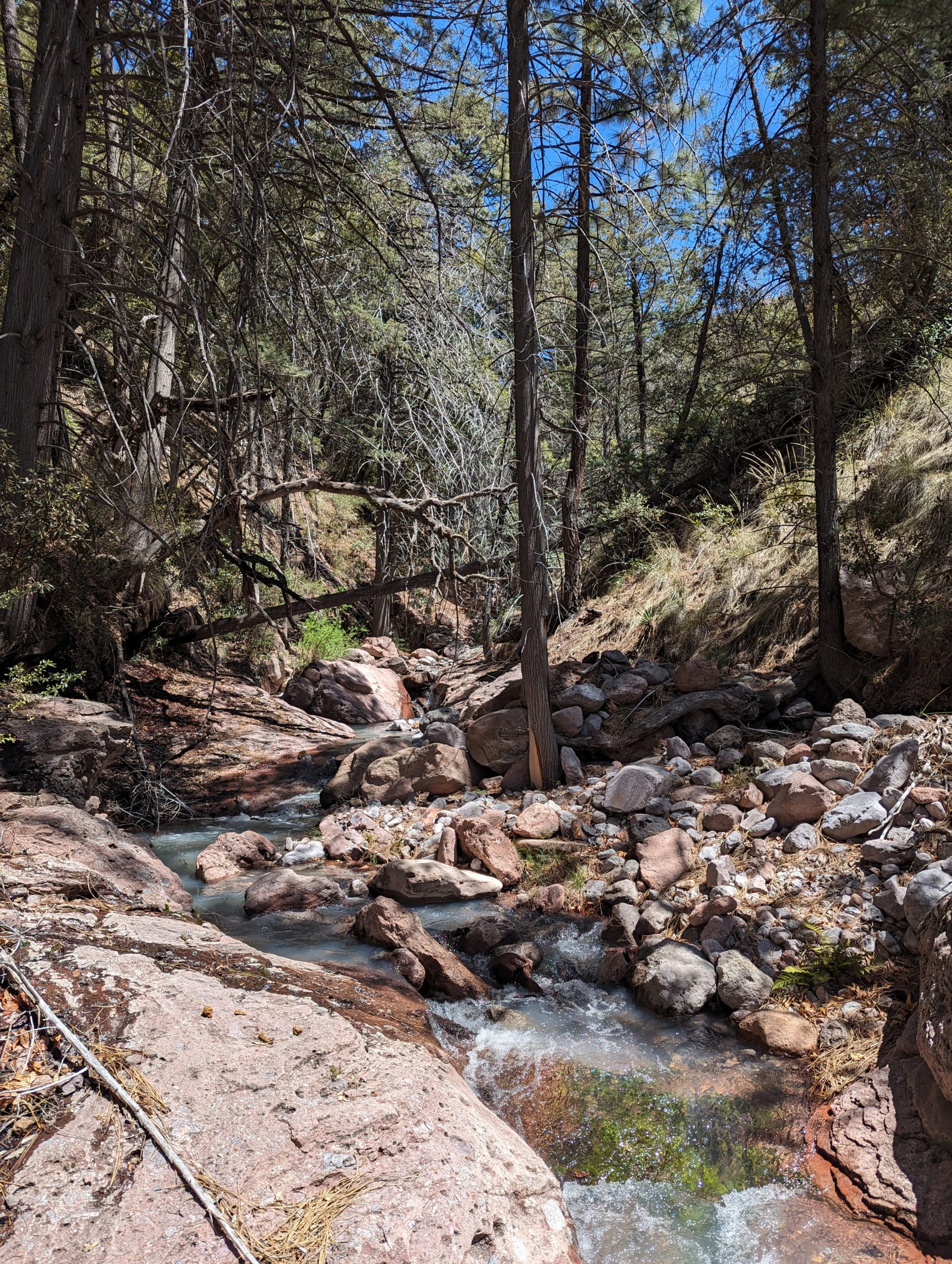
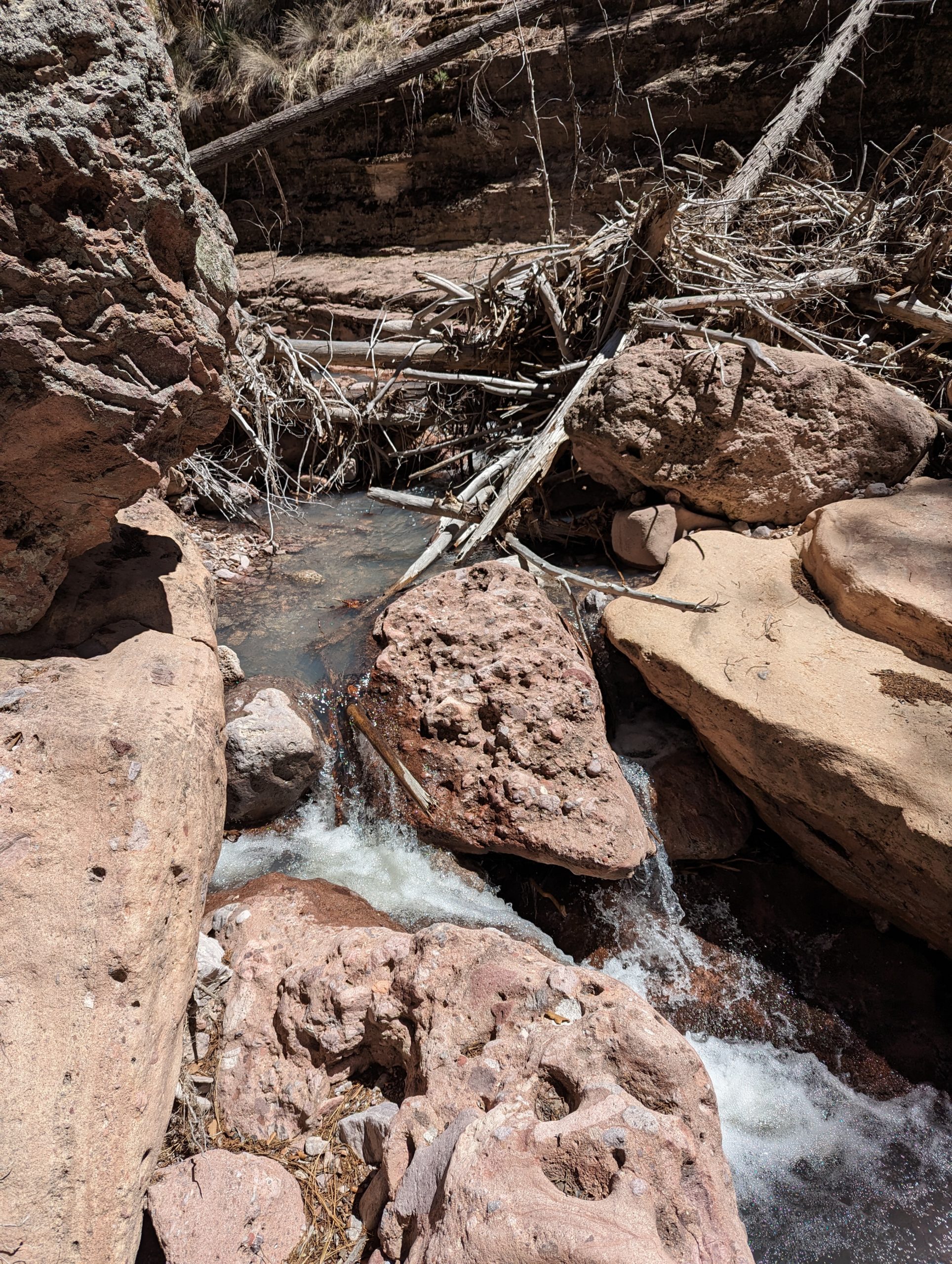
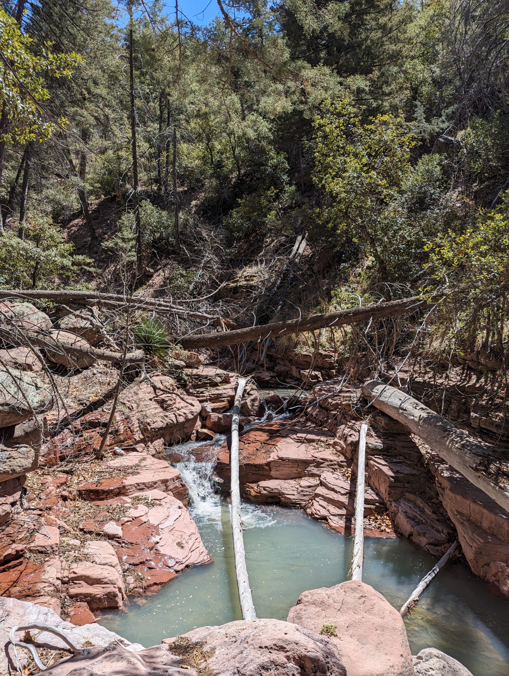
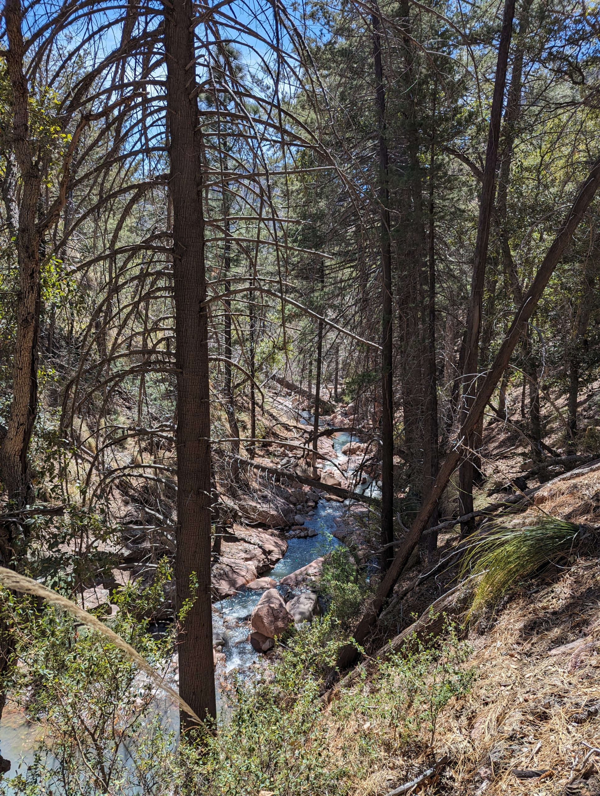
Last weekend, we went on a hike in Price Canyon (which is south of Horseshoe and north of Rucker, about 20 minutes from here) and were delighted to find Price spring running. It was beautiful and a hike we’ll do again. It’s amazing that there are such different kinds of ecosystems so close to us.
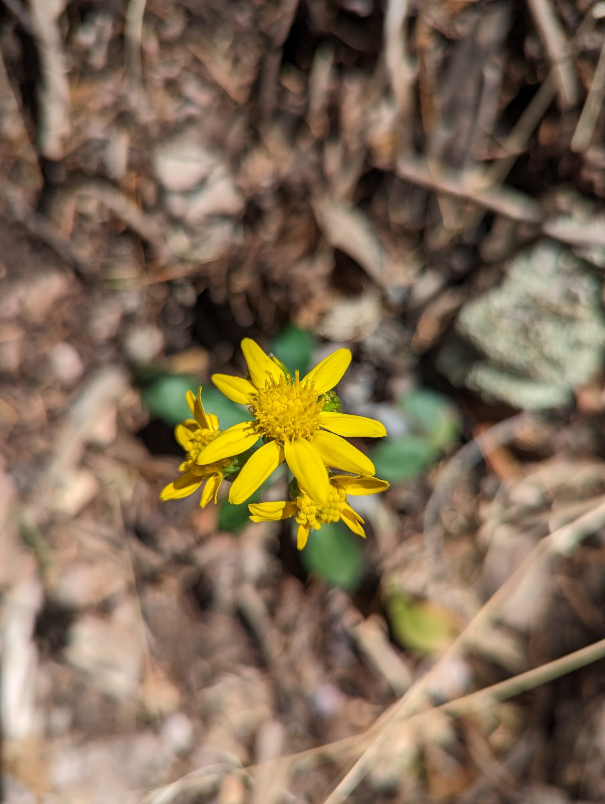
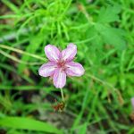
With good early spring rains, the poppies are blooming here, and we’re looking forward to warmer temperatures. We had enough rain that my garden greens are thriving even though I’ve neglected them. I’m hoping to have more time in the garden soon!
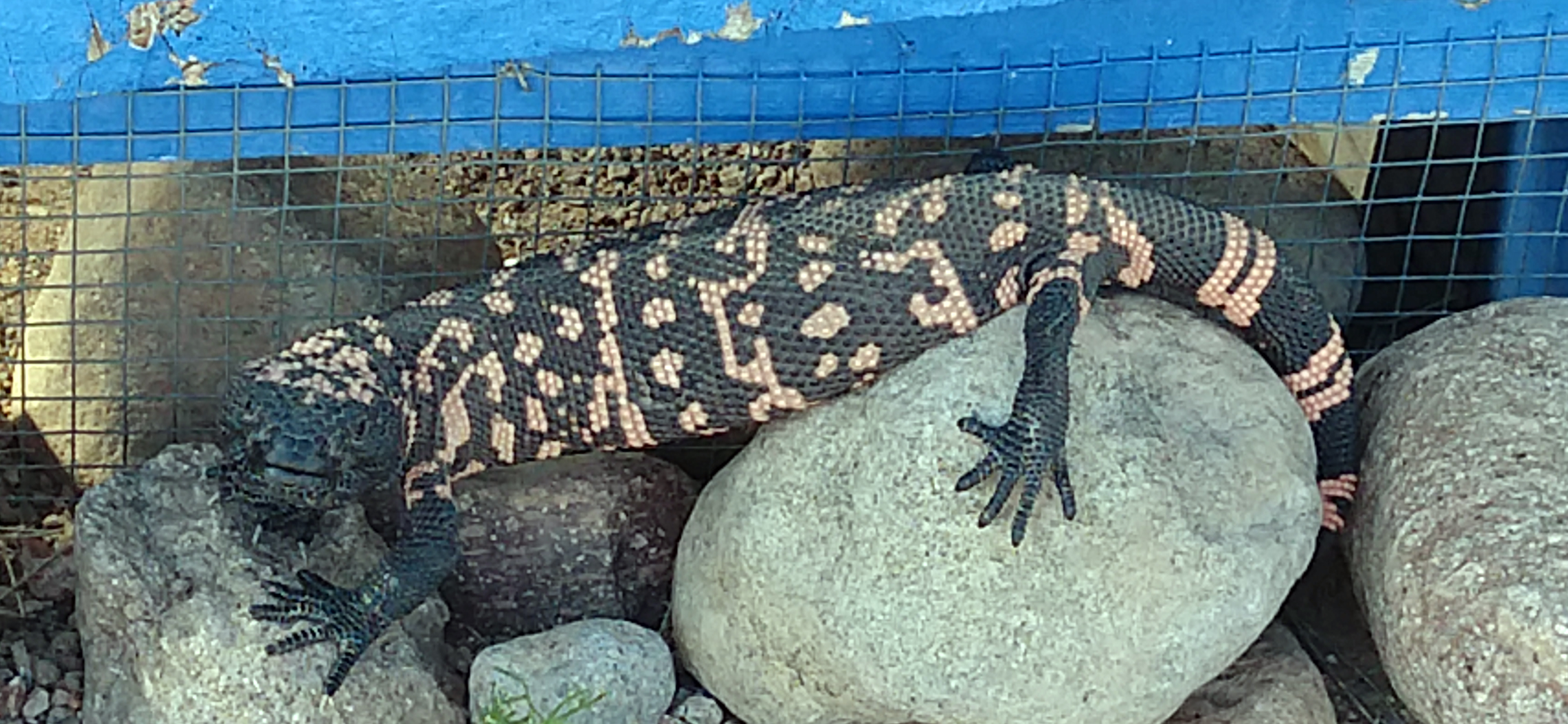
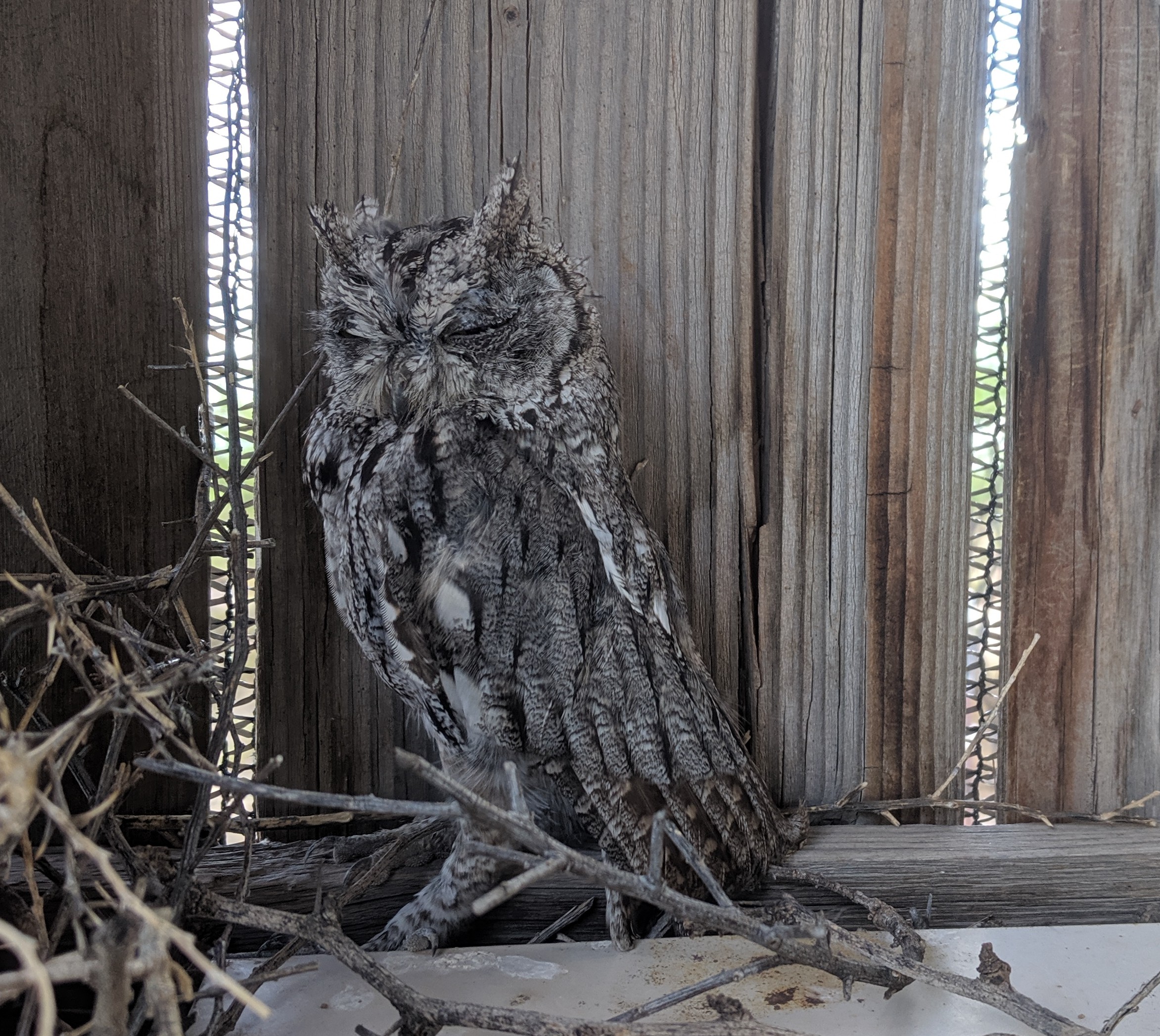
Imagine my surprise when I began to step out of the greenhouse and saw this.
It startled me quite a bit.
Gila monsters are a rare sighting here, but this is the second year we’ve seen one. Interestingly, the last one was at the same time of year. This year, it was a mature adult, and we got a good look.
The monsoons have been continuing this month. It’s late in the year for them to still be going, but we’ve had rain every day this week. It’s good for the garden and a relief to be able to turn the drip off for a while.
We’ve also had a lot of wildlife around, including a bobcat that we’ve been seeing fairly regularly. There are also a pair of owls perching at a neighbor’s place. We’ve been visiting them on our nightly walks, and they seem quite unbothered by us.
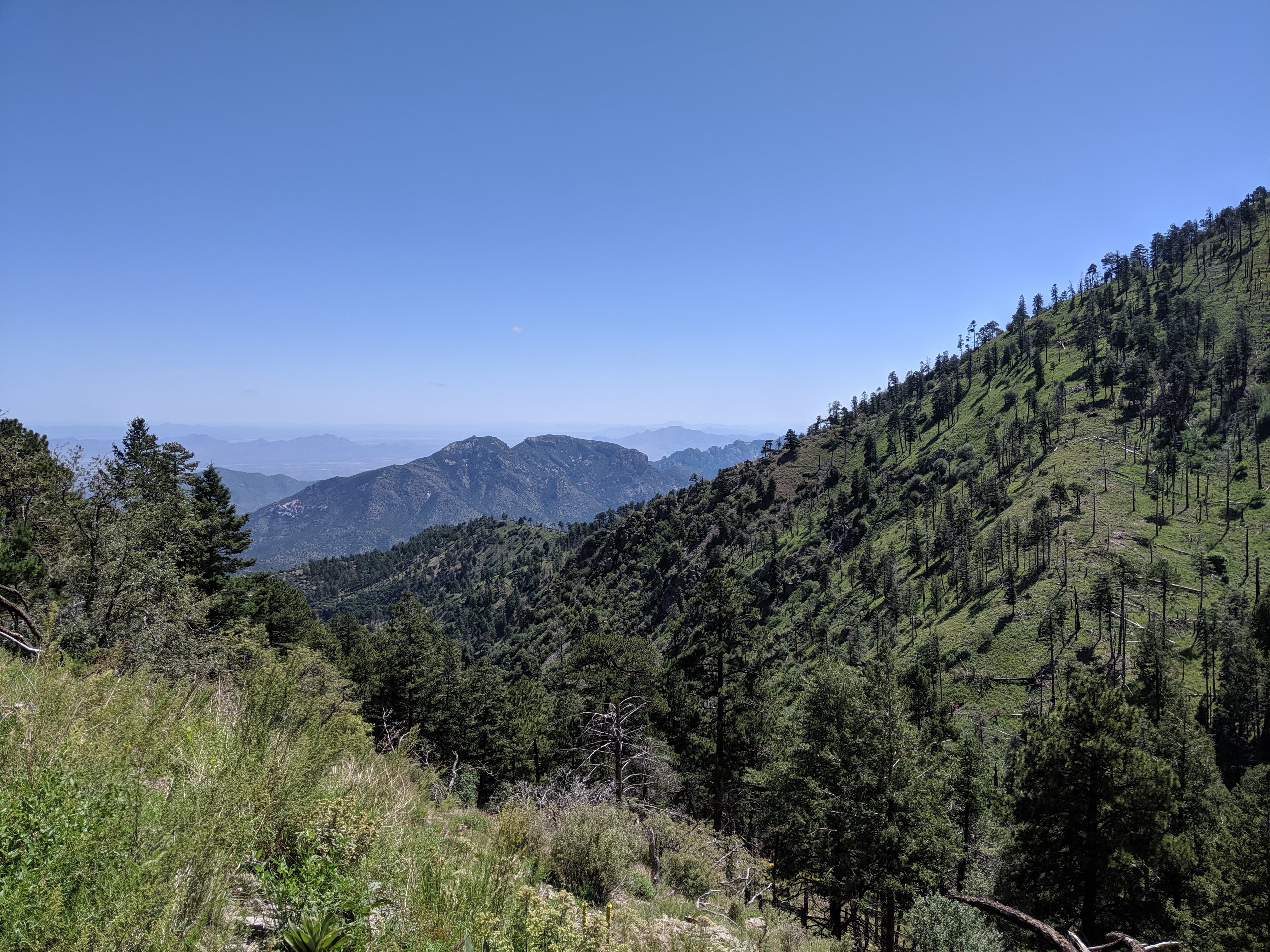
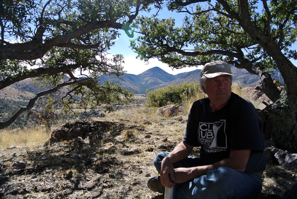
Last weekend, we went camping up in the Chiricahuas at Rustler Park. At 9100 feet, it was quite cool. We did some great hiking and foraged both raspberries and elderberries. It was quite a treat to come home with enough berries to freeze for pies.
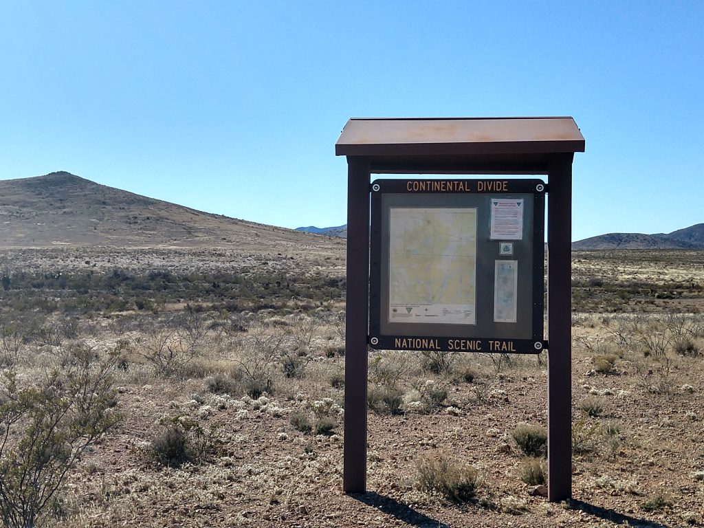
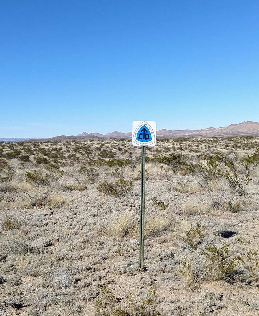
The Continental Divide Trail is one of the US’s National Scenic Trails, and at 3100 miles is longer than either the Appalachian Trail or the Pacific Crest Trail. It is also said to be considerably more difficult, largely because of how remote it is. Many stretches have no settlements, no road access, and no water. (For a good book about this, see Where the Waters Divide: A 3,000 Mile Trek Along America’s Continental Divide by Karen Berger and Daniel R. Smith.)
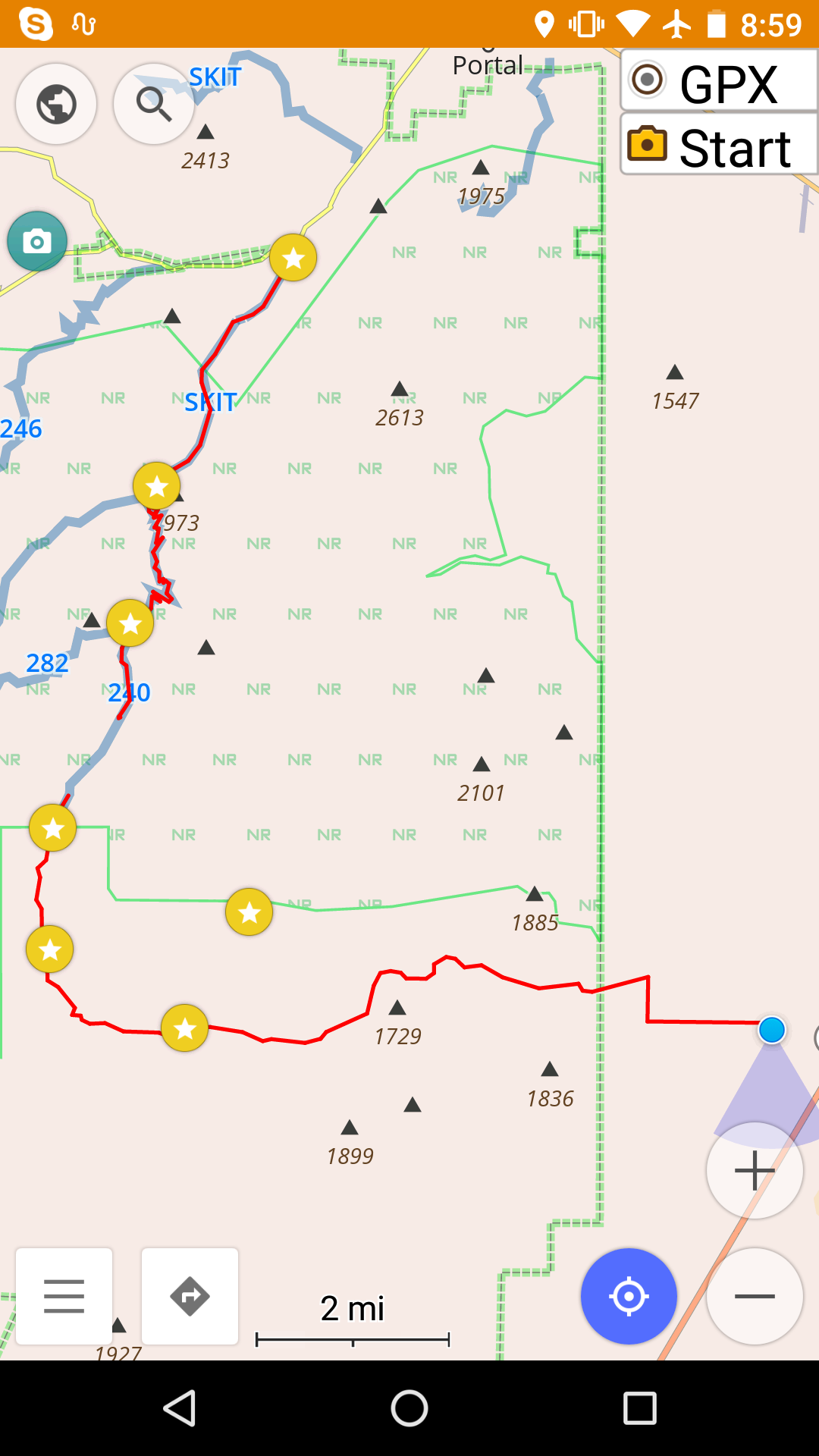
We are lucky to have access to this trail less than an hour from our house. In fact, its start at the Mexican border isn’t far from here. We also pass a trail crossing on our way to Silver City. We have thought about hiking parts of this many times, but for one reason or another, we hadn’t — until yesterday.
The closest trail access to us is where it crosses Highway 9 east of Animas. We parked there and walked south about 6 miles or so and back. It was a beautiful day, and we enjoyed the hike.
One pleasant surprise is that the trail, while not always easy to see itself, is extremely well marked with signs every 100 yards or so. I don’t know if this it true everywhere along the trail, but it made the trail here simple to follow, which is often not the case for trails here.
Hiking this trail made me revisit a long-held fantasy of through-hiking a long trails. A couple years ago, while waiting for a train from Lordsburg, I met a guy who had been hiking the CDT. He was ex-military, in good condition, and thought he was ready for the task. He made it to about Silver City before having to be rescued. This trail is not for the unprepared. Lack of water and extreme heat and cold make it very challenging.
I don’t know if I’ll ever hike a trail like this in its entirety, but I am definitely looking forward to future day hikes here and also some overnight backpack trips.
Future places we plan to hike more of the CDT include the north from highway 9, north from the start at the Mexican border (you can drive to the start though it involves 20 miles or so of unpaved back roads), and several places up toward Silver City.
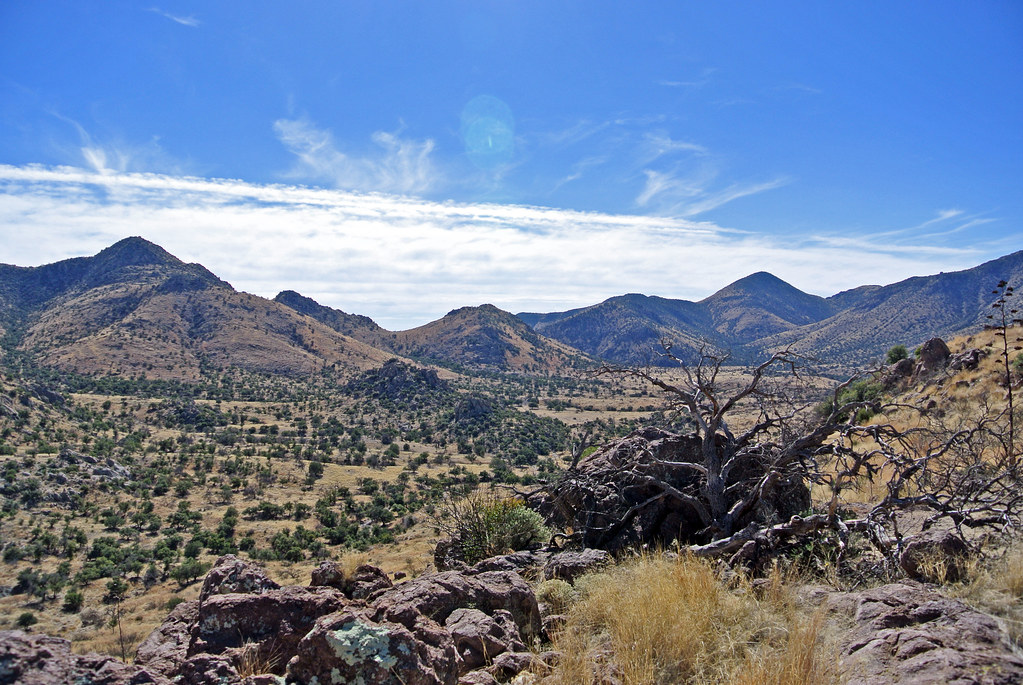
Yesterday, we took a 16.5 mile hike from our doorstep back through Horseshoe Canyon, then to the south and back out of the mountains through Jackwood Canyon.
Strangely, though it is so close, we’ve never been through Jackwood Canyon. I suspect that the gate into it from 80 is usually locked but I need to verify this. At any rate, it was a very beautiful hike.
You might remember that we did another long “from our house” hike in preparation for the Grand Canyon. That one ended up being mostly off trail (there supposedly was a trail but it was so seldom used as to be gone) and was very difficult as a result. Looking the maps, you never really know whether a trail will be there or not, and our area is remote enough that many trails have disappeared over the years. This time though we were pleasantly surprised to have a good trail for the entire trip. Much nicer!
We started off from our house and went back into Horseshoe Canyon, a hike we’ve done many times. About 7 miles from our house (5 miles into the canyon), there is an old homestead house. About a half mile past that, there is a branch of the trail/road that goes to the south. This goes to Jackwood Canyon.
Much of the hike followed an old forest service road. While most of it would not be passable even with 4 wheel drive, it was perfect for hiking. The trail/road went south through some beautiful grasslands. It wove behind the mountains and eventually cut through a pass, so there wasn’t even a huge climb.
lunch
We almost made it the whole way without seeing a soul, but about three miles from the end, we were approached by a pickup driven by an old cowboy. He stopped, and we said hi. He started out with a look of deep suspicion on his face (the normal expression here when regarding “strangers”). As we told him where we hiked and where he lived, his expression changed to looking as though he thought we were a bit crazy. Eventually, by the end of our conversation, he had a slight smile and seemed to think we were ok. He proclaimed us “quite fit” and wished us well.
We finished the hike in Apache, where we’d left a car. That’s about 6 miles on Highway 80 to Sunrise.
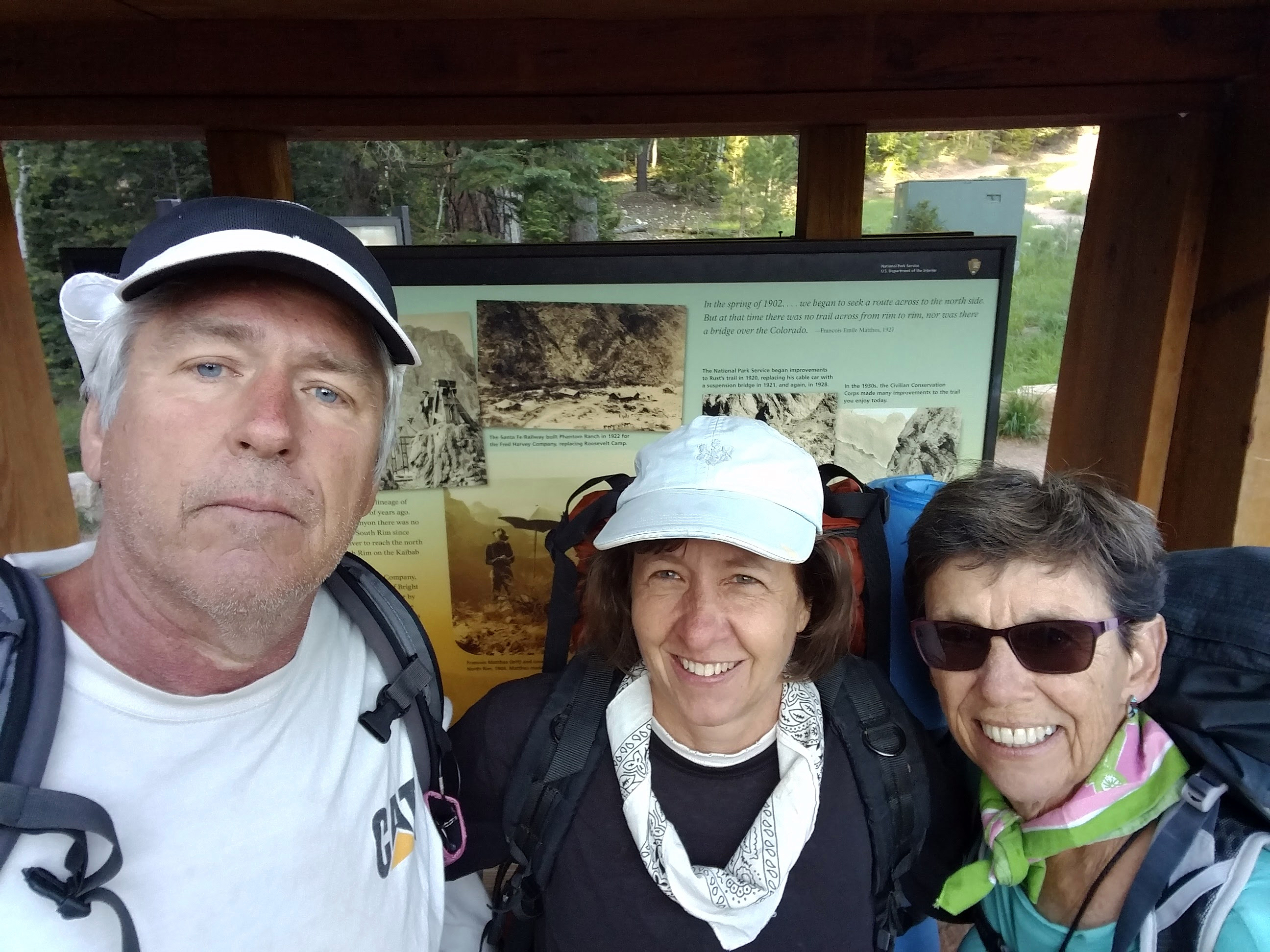
Our Grand Canyon trip was a great success. Most notable, our training paid off — we never felt hugely taxed, and after it was all over, we weren’t sore (unlike last time).
You might remember that we decided to do the trip in four days this time instead of two. That worked out well. However, leaving camp at first light to avoid the heat sometimes brought us into the next camp before 8am! That let us do a couple day hikes though, including Ribbon Falls and Plateau Point, which were both spectacular. It’s always nice to hike without the heavy packs once you’re used to them.
Ribbon Falls — cool on a hot day
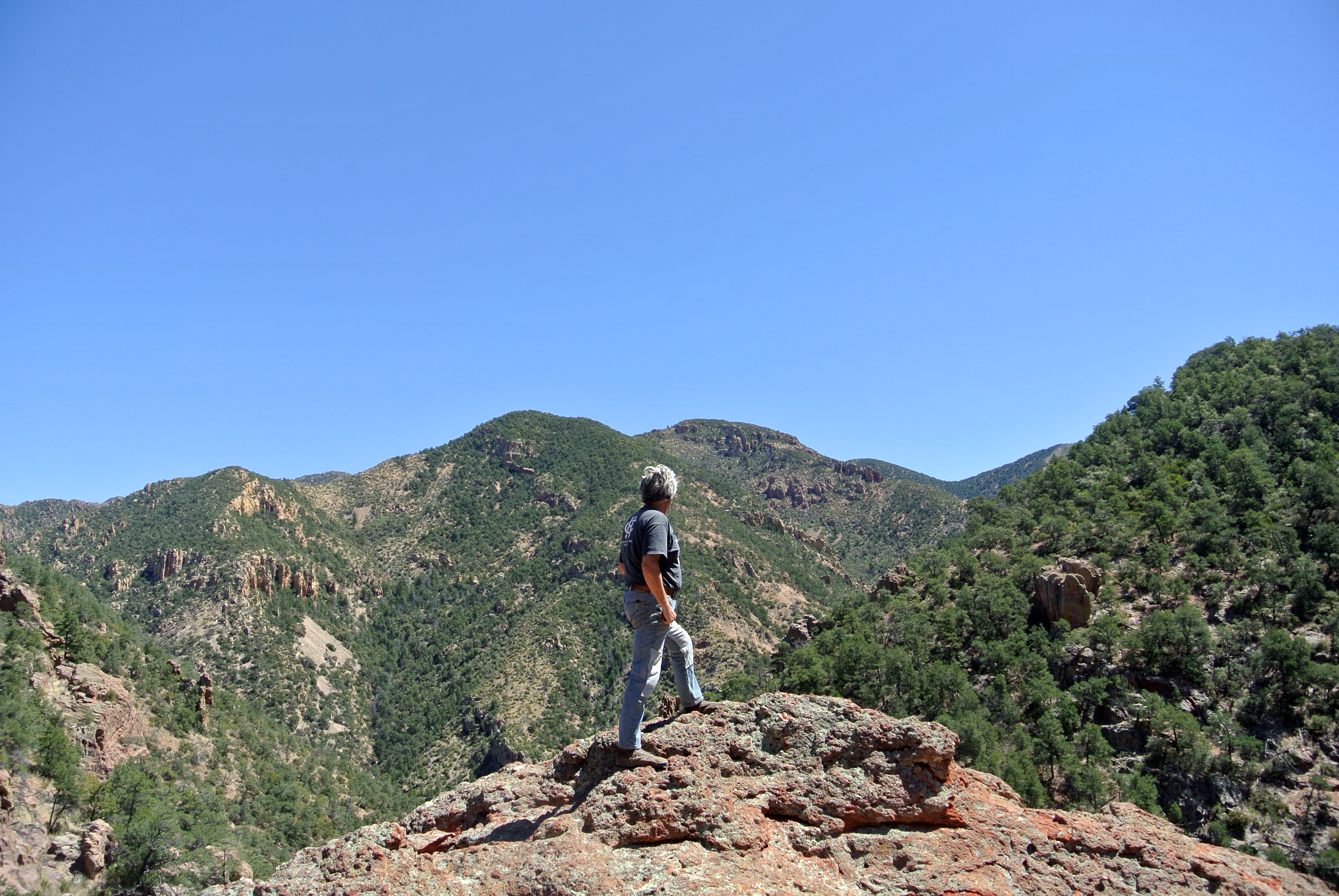
Me on the plateau
We hadn’t been on the north rim before this, and it was very beautiful. Also the trail down from there had fewer hikers which was nice.
It’s always striking the range of people you see on this trail. We saw people who could barely hike (just doing a short day hike from the rim) to people who were running it rim-to-rim. We also met folks doing rim-to-rim-to-rim.
The weather was good. It was a bit windy but not as hot as the last time we did it. At the rim, nighttime temperatures were cool (40s), and we even saw a couple patches of snow. At the bottom, the high in the shade was 106.
Data:
31.5 total miles (including side trips)
starting elevation: 8327 feet
elevation at the bottom: 2445 feet
ending elevation: 6851 feet
Our team, getting ready to set off from the North Rim
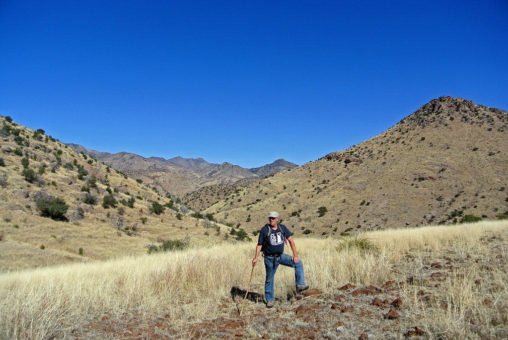
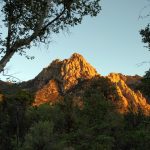
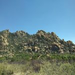
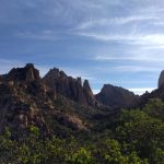
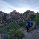
This weekend’s backpacking trip was to Cochise Stronghold, which is on the west side of the Chiricahuas from us and to the south of Texas Canyon (the one with the amazing rocks just off I-10). We hiked from the campground to the pass and then over to the west side. We backcountry camped there overnight and then headed back. We went with our friend Judy who will be going to the Grand Canyon with us.
It was a much more enjoyable hike than our last one. The hike itself was relatively easy and the views were incredible.
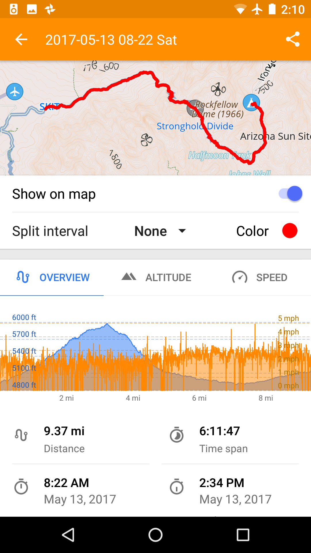
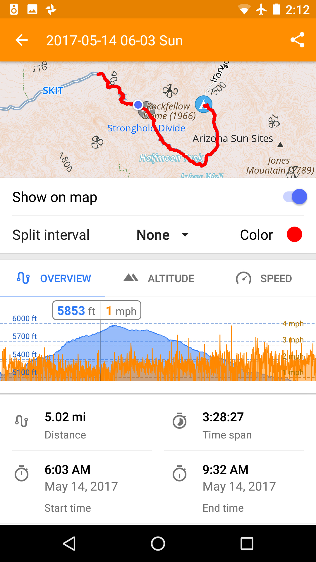
Here’s the data. (The difference in distances between the days is because we tacked an extra few miles onto Sat. before camping.)
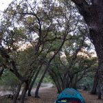
The canyon behind our house is a part of a large area of national forest that goes from north of the national monument to south of Rucker Canyon (about 15 miles north of Douglas). We’ve always wanted to do a backpacking trip in the forest that ended at our house, and this weekend we did.
On Friday night, we camped at the Sunny Flat campground a few miles from Portal. Then early Saturday, we set out toward Horseshoe Canyon.
Here are the overall stats for the hike:
Overall distance: 21.6 miles (8.6 on Saturday, 13 on Sunday)
Starting elevation: 5079 ft
Highest elevation: 7220 ft
Final elevation: 4300 ft
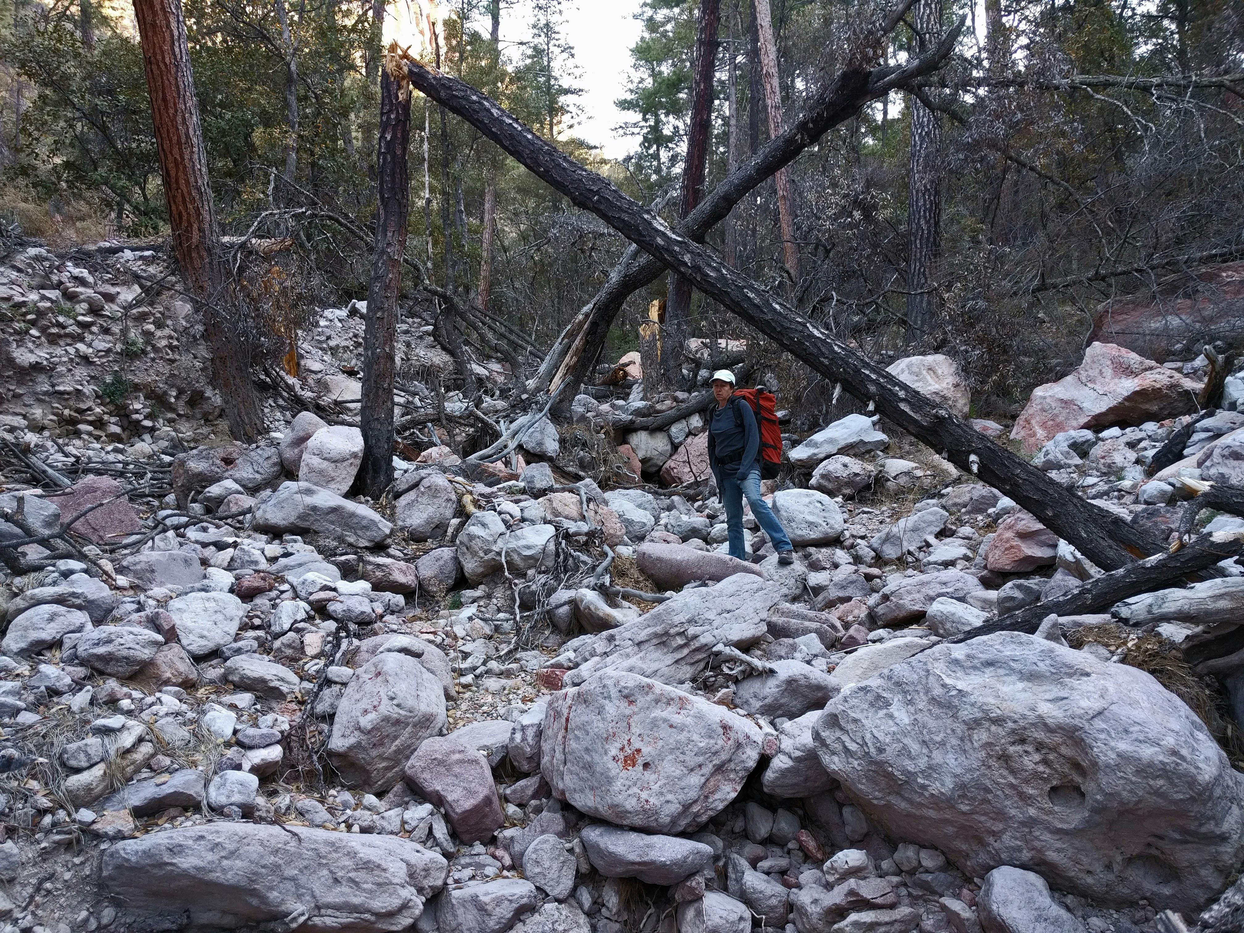
Overall, it was a harder hike than we had anticipated. There was a good amount of elevation change, but the real challenge was the trail or lack thereof. Much of the trail had been washed away by Hurricane Odile and consisted of stream beds with large boulders strewn everywhere and large downed trees. In many cases, we ended up walking twice as far as would normally be required in order to avoid obstacles. Climbing over and around boulders and trees added difficulty as well. I was glad we had a GPS because I’m not sure we could have reliably found the way otherwise.
typical “trail”
This was also a trial run for overnight backpacking and our equipment for the upcoming Grand Canyon trip. On that front, all went well.
It was fun to end up at our house, though by the end of Sunday, we were super tired.
We are planning to do another backpacking trip soon, but probably won’t do this one again. Maybe next time will be from Rucker Canyon to our house.
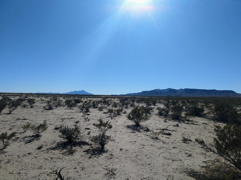
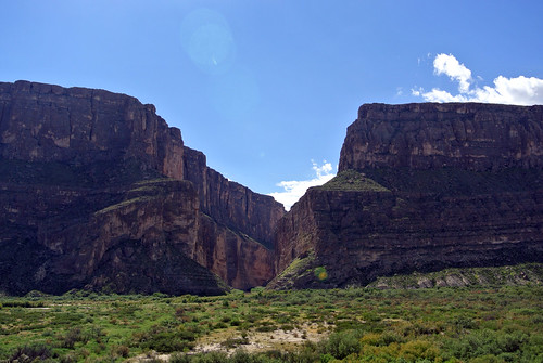
It’s been a crazy couple of weeks here, but I wanted to get a quick post up about our camping trip to Big Bend National Park. It’s the 30th national park I’ve visited. We loved it. Though we weren’t able to stay long this time, we will definitely go back. (I’m especially looking forward to a rafting trip.)
For those interested in a visit, it’s an easy 7.5 hour drive from here.
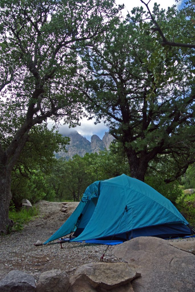
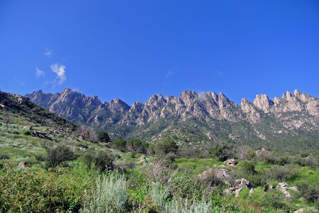
It is one of the most lovely times of year to go camping here, and we took advantage of the long weekend to see a new place, Aguiree Springs in the Organ Mountains just east of Las Cruces.
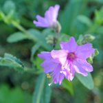
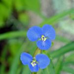
These mountains are quite dramatic, and the hikes we did around them were beautiful. And because of the late monsoons, everything was in bloom! (And yes, the mosquitoes were in full force.)
This weekend, we took an excursion south of Animas to an old (ghost?) town called Cloverdale. (Spoiler: There isn’t much town left.)
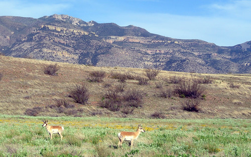
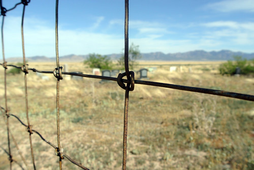
It was a beautiful drive with amazing landscapes. Most of the land down there was bought up some time back by the Diamond A Ranch, which is 321,000 acres and is connected with the Nature Conservancy. Despite that, there were “no trespassing” signs posted everywhere.
On the whole drive, we only saw two other vehicles, one Border Patrol and one rancher, both pretty close to Animas. We did see several pronghorn as well.
In the southern part of this land, we found an old abandoned homestead house. We also had directions to the old Cloverdale cemetery. It turned out that there wasn’t a road to it any more, but we walked a mile or so and found it.
Near there, the ranch is bordered by large amounts of national forest and BLM land which you can access by road. We are definitely going to return and do some camping down there.
Being there felt like being in a place no one else had been in a very long time.