Coronado National Forest

...now browsing by tag


SOPA, NEPA, and more — your government at work

Monday, December 14th, 2020

In an otherwise rather boring month, we had a bit of activity here around a proposed change to the road into the national forest near our house.

This had come up a few years ago when there was some local discussion about an easement being purchased and thoughts that it was exorbitantly priced and some kind of boondoggle. (For those unfamiliar, an easement is a non-possessory right to cross or otherwise use someone else’s land for a specified purpose.) As a frame of reference, it was said that an easement on a three acre piece of land was being purchased for $80,000. The going rate for undeveloped land here is about $1,000 per acre. At the time, we weren’t that connected to what was going on and there was no public comment period that I was aware of. Afterward, we didn’t really hear much about it, and there was no activity on it that we were aware of.

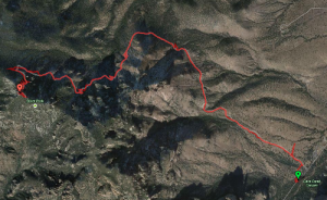
Then last month, we heard that there was a National Environmental Policy Act (NEPA) proposal out for constructing a new road into Horseshoe Canyon.

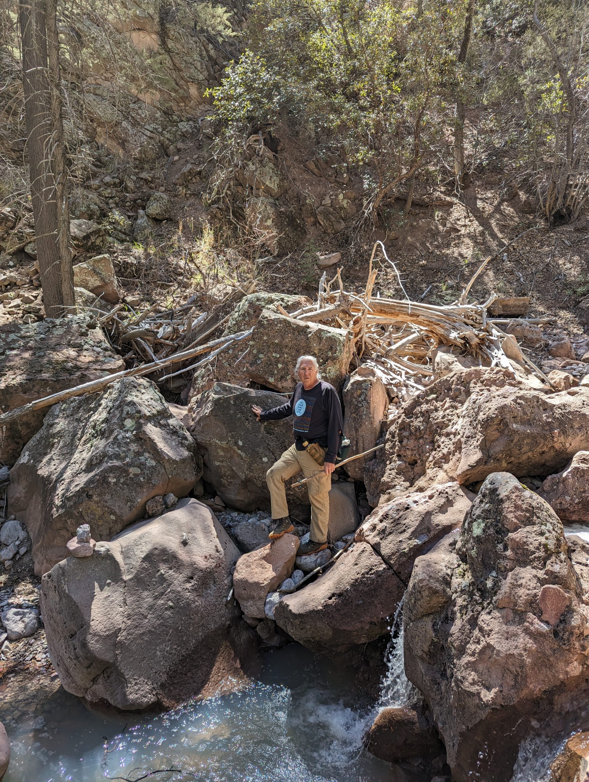
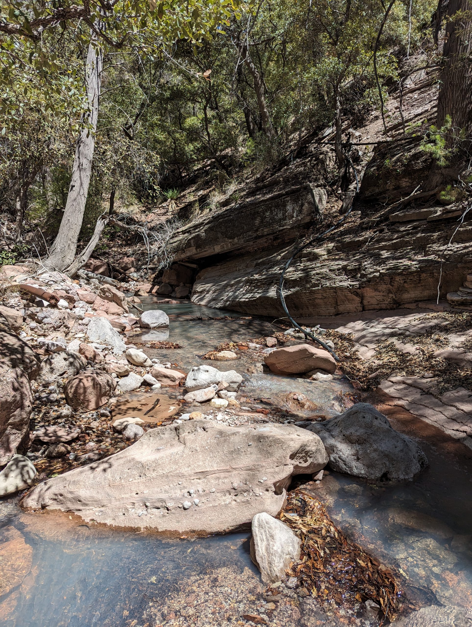
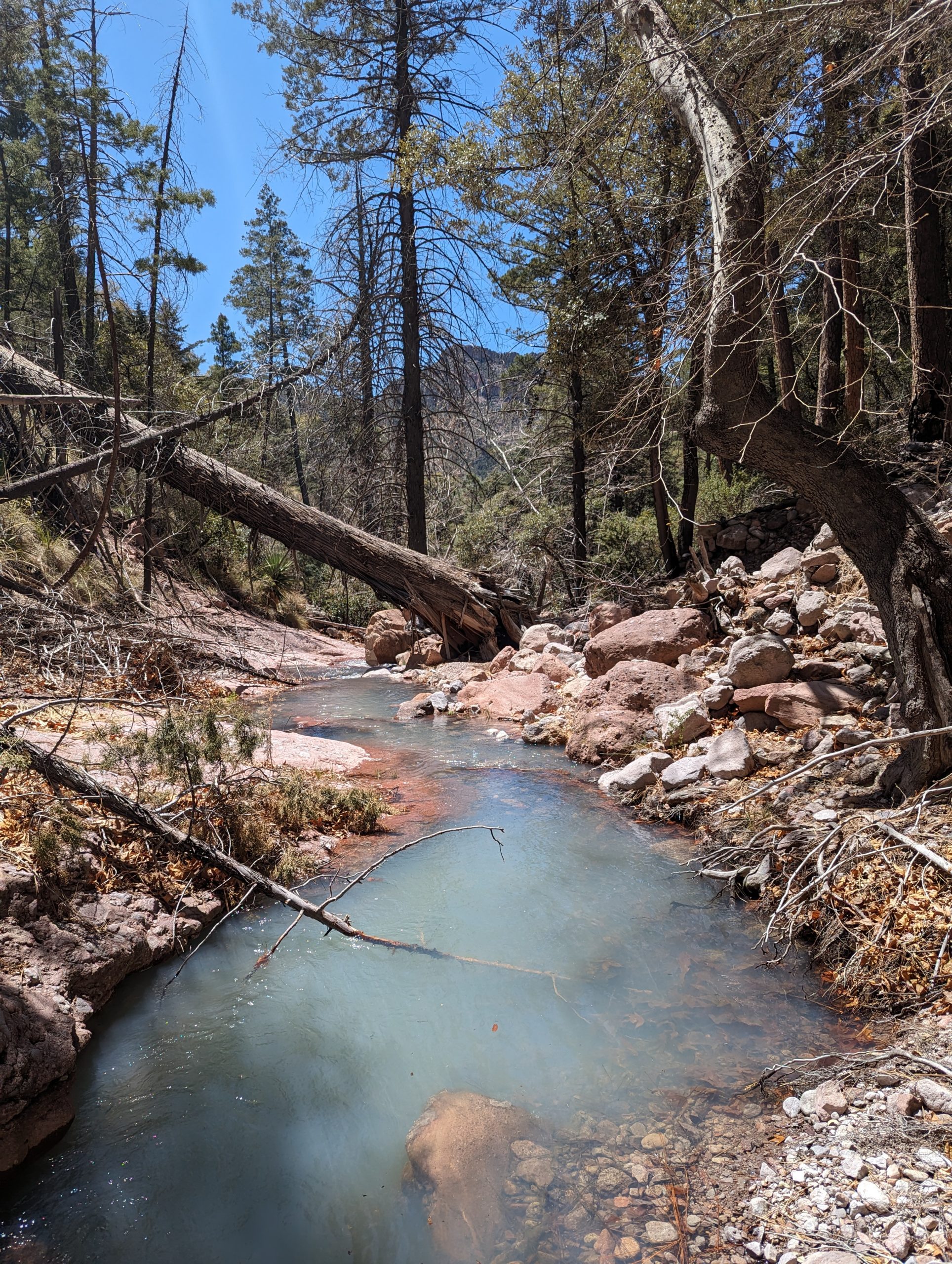
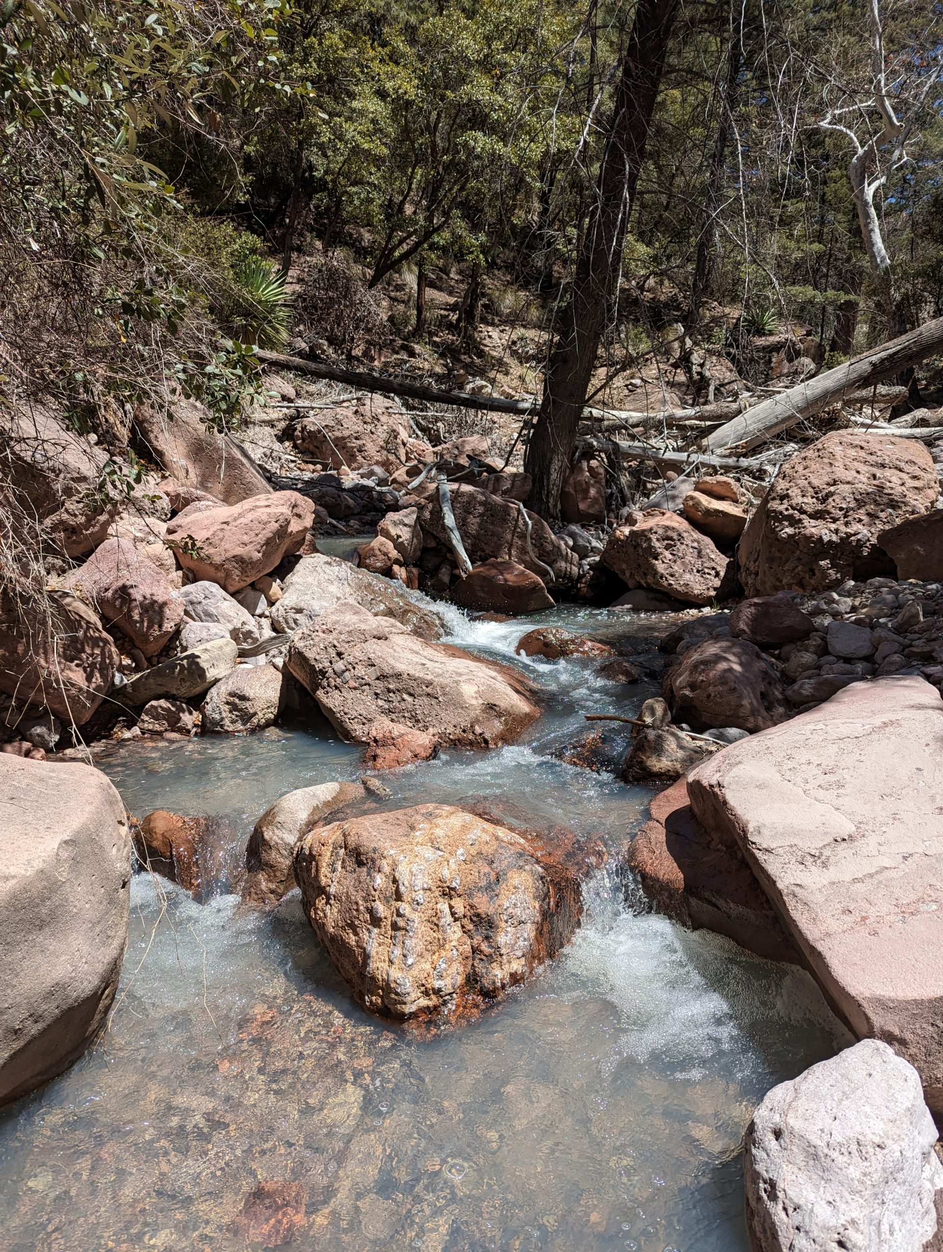
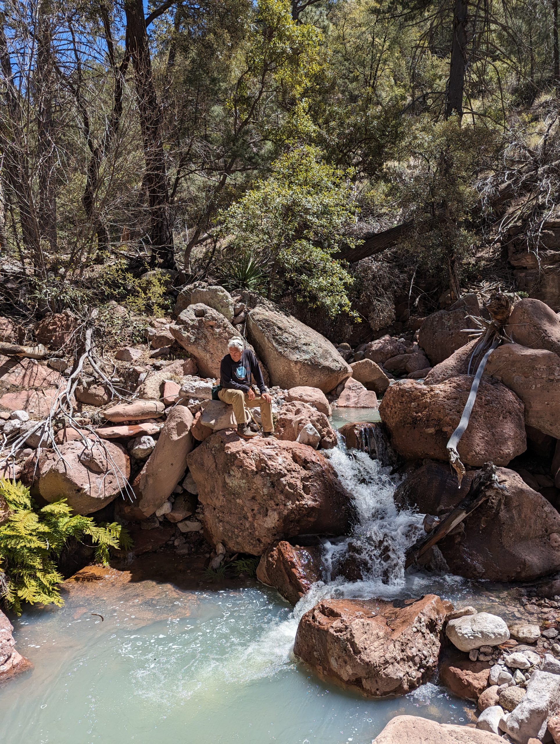
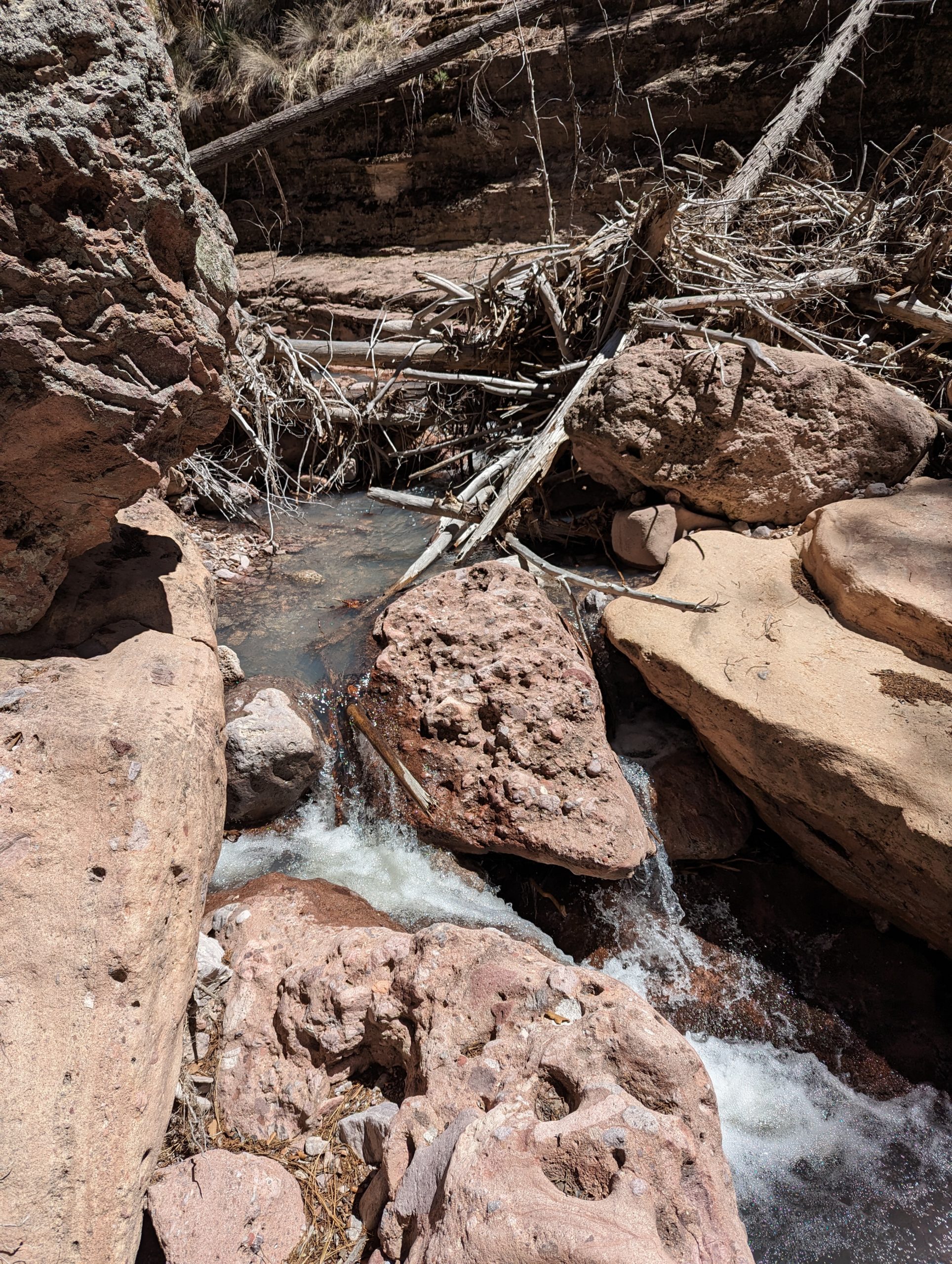
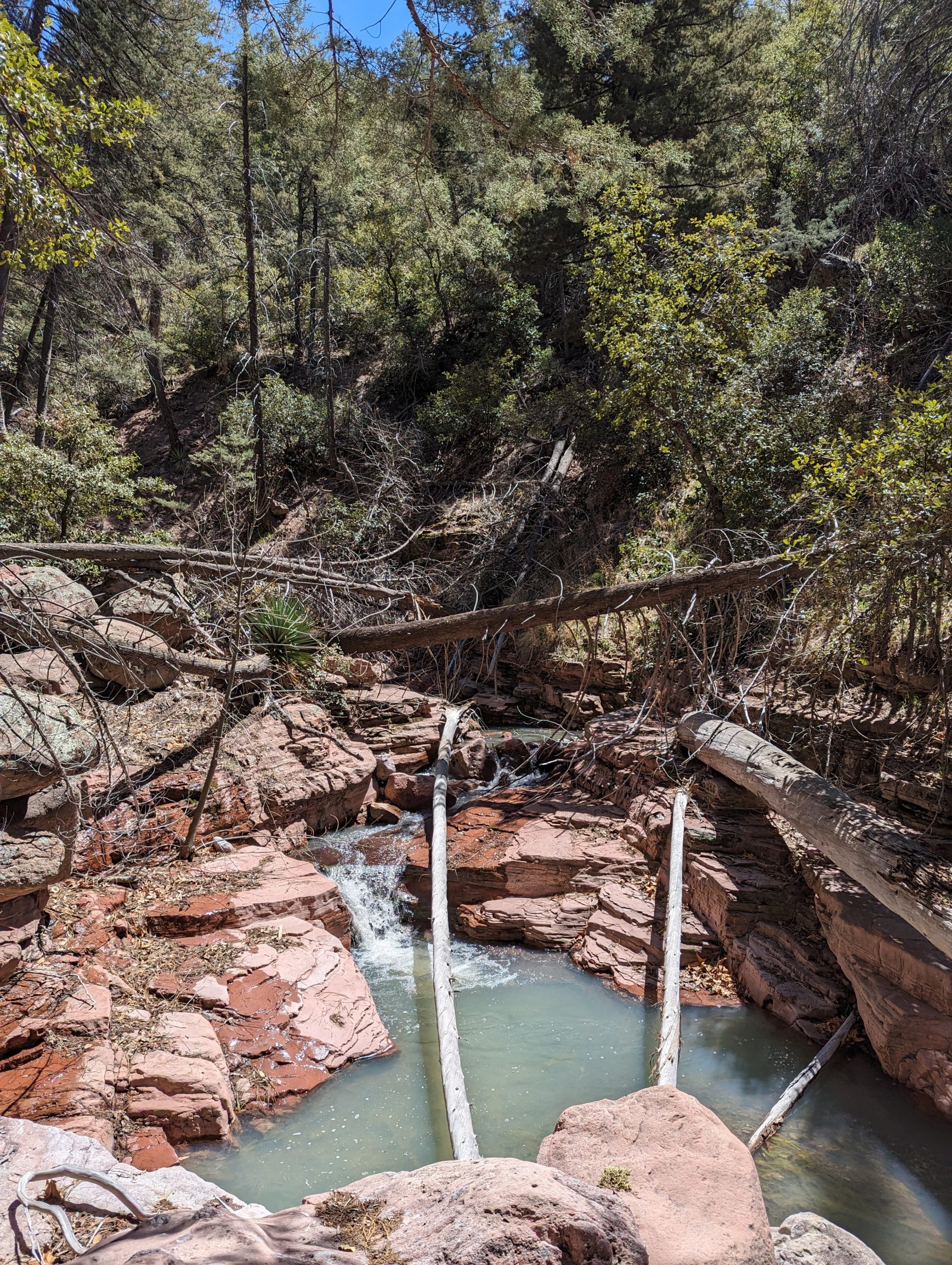
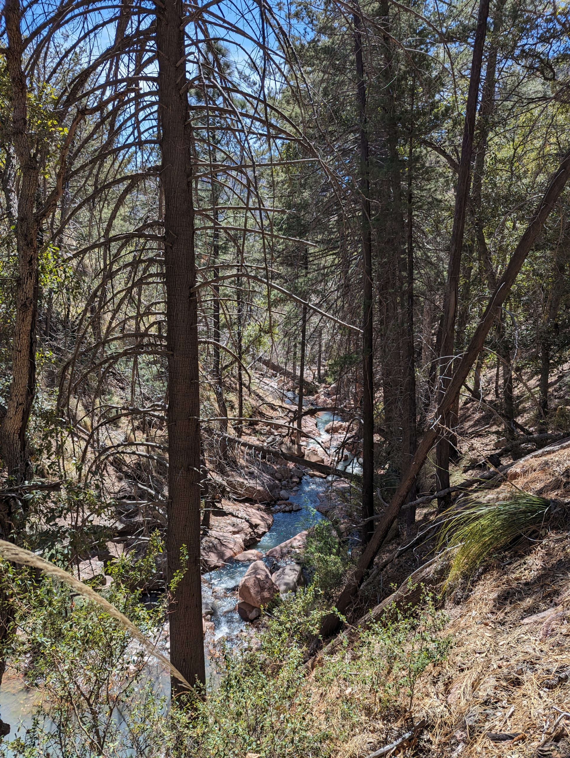
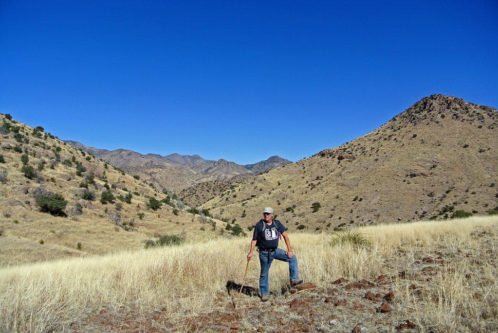
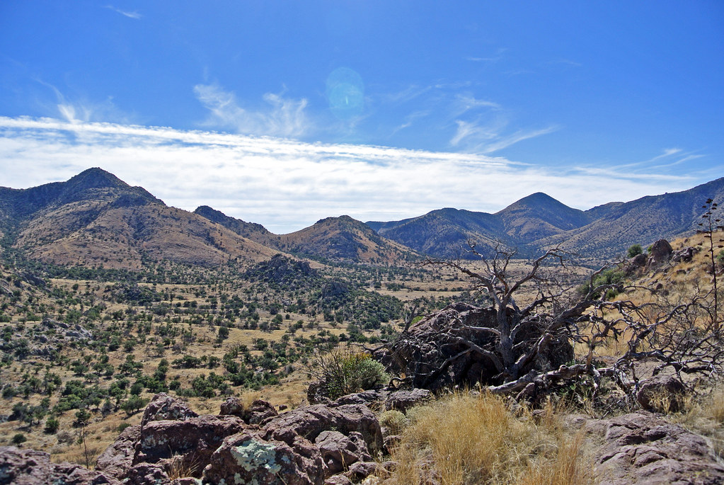
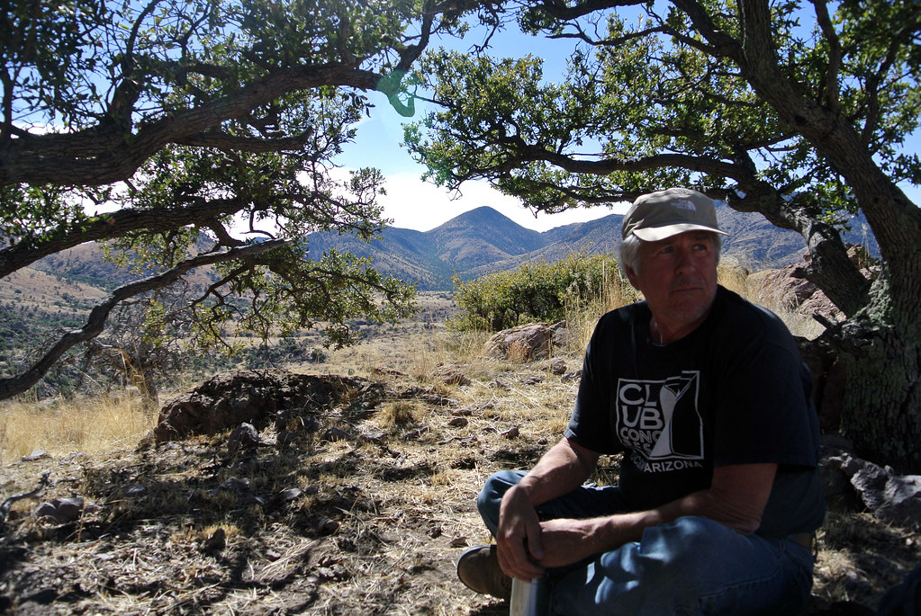
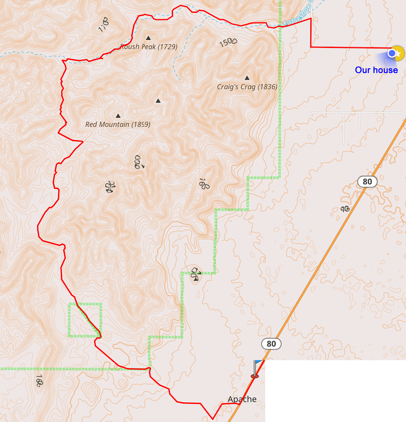
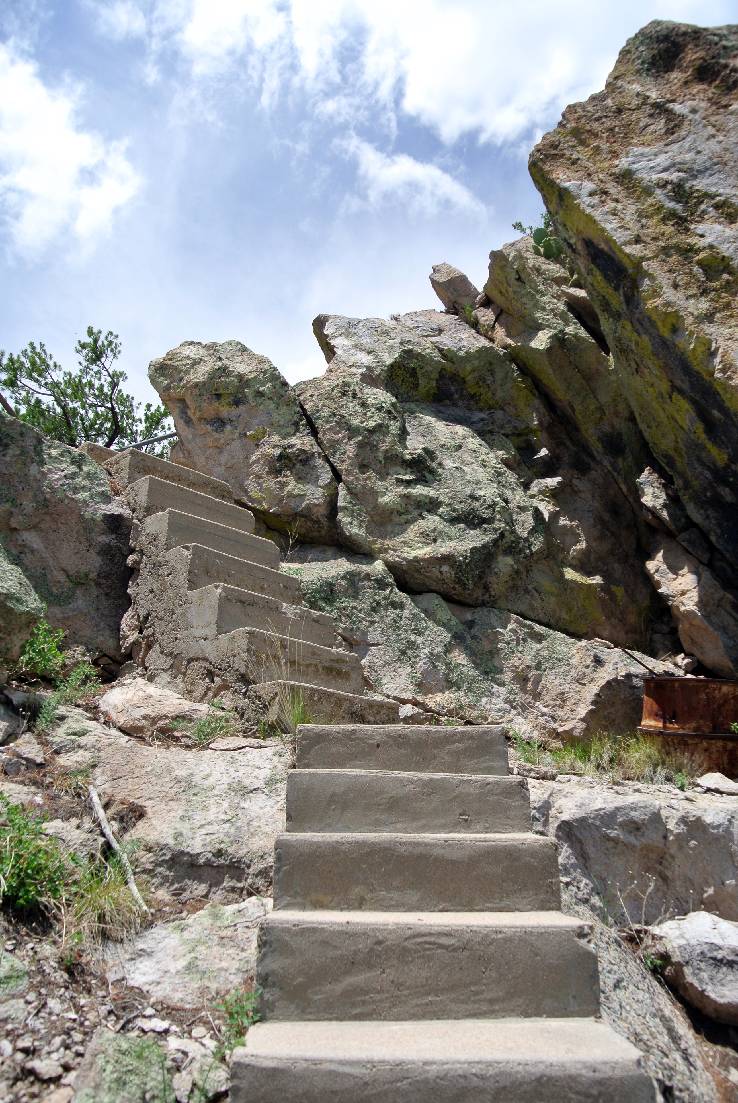
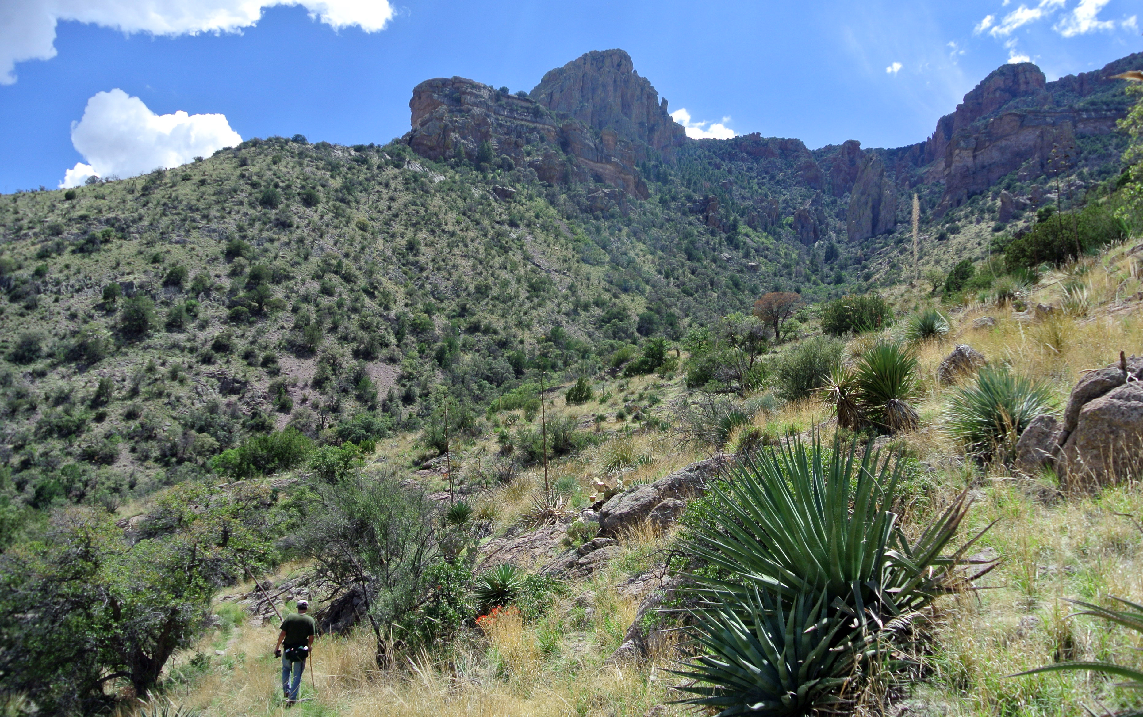
As background, Horseshoe Canyon in the Chiricahua Mountains is directly to the west of us. We are about three miles from the forest service border, and we hike there regularly. Between the highway and the forest service border is mostly private land like ours. At the mouth of the canyon, there is a fence and cattle corrals which are used by a local rancher, who free ranges cattle on this side part of the year and has a lease to range them in the forest part of the year. There are currently two ways to access the forest land by vehicle: Sunrise Road (where we live) and Zent Road (one mile north of us). Both of the roads then go into Horseshoe Canyon Road through the corrals and into the canyon

The USFS proposal said that the new construction was being undertaken to “construct small sections of road to connect existing system roads to system roads that currently do not have public access due to intervening private land.” Further they said that Horseshoe Canyon ” lacks legal access.”

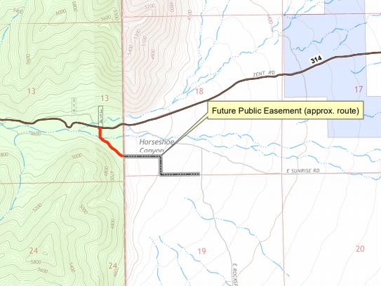
(Note the labeling of “Future Public Easement.” Unclear the status of this.)

This surprised me since for the twelve years we’ve lived here, there have been two roads that access the canyon and no problems with motorized access. I understand that other areas, notable the Peloncillo Mountains to the east of us, have had large amounts of public land rendered inaccessible by private land owners who have locked off access roads. However this was not the case here.

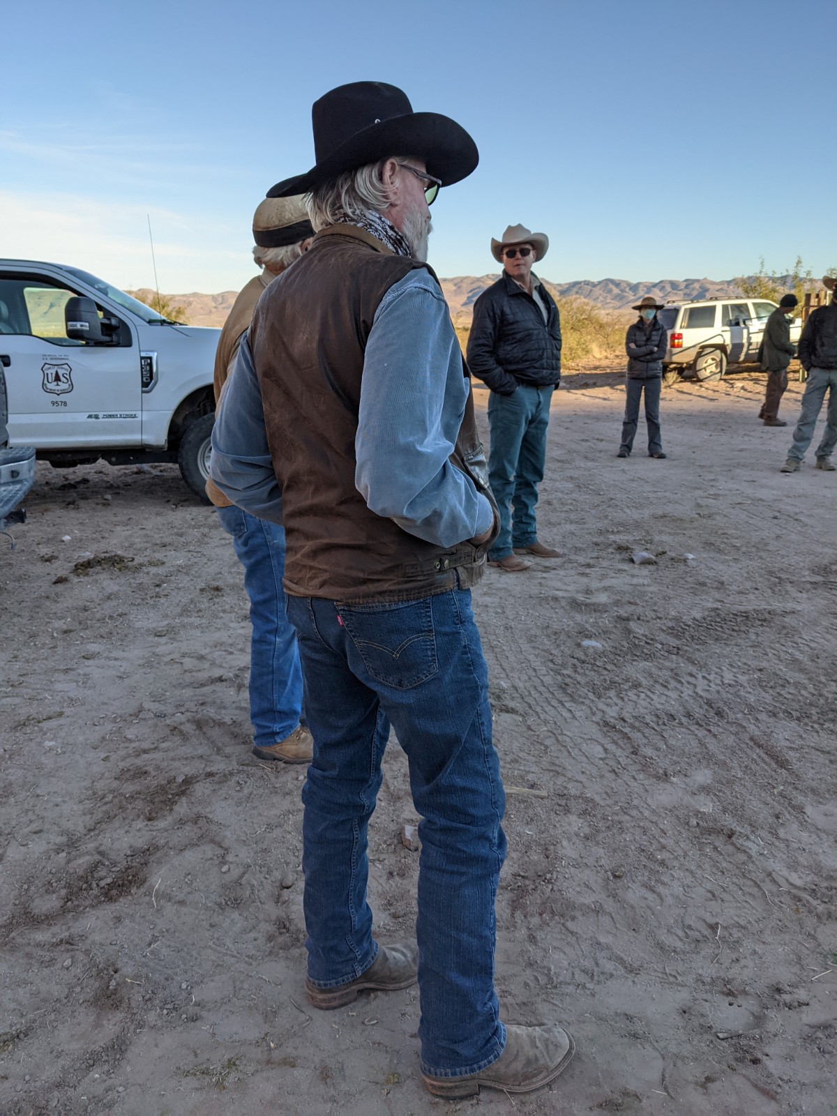
By the time we heard about this, there was a very short window for asking questions or submitting public comments. In talking with our neighbors, no one had heard about this. (The USFS says that they posted the project publicly on their web site and in some far away newspaper no one here gets, but did not contact any of the affected landowners. Like many other things, they said this was not their responsibility.) We asked for a public meeting to discuss this. We were told that would not be done. Another neighbor requested the same and got the same answer. In the meantime, we submitted comments based on the information we had. (Other public comments were typically in two categories: hunters, etc. supported the proposal and said motorized access is essential and conservationists, etc. who opposed the proposal and said no more roads were needed.) When a third (or maybe more) person asked for a public meeting, one was finally granted.

We had that meeting last week, standing outside the mouth of the canyon. There was a good sized group of people, including the most affected land owners.


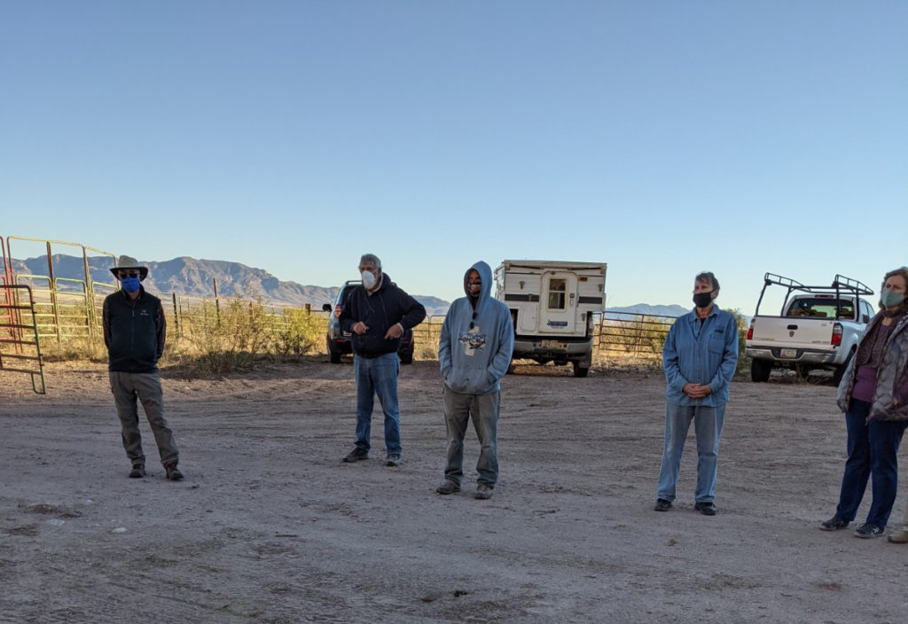
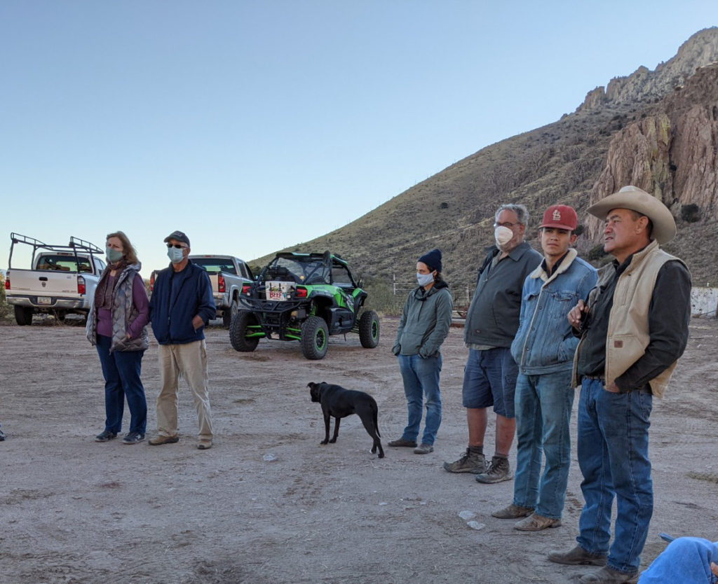
The meeting was…unsatisfying. Here were some highlights:

  • The forest service District Ranger made it clear that this was all his decision and said several times said this was a done deal. (Not very helpful given that this was a meeting to discuss this with local landowners who were previously unaware of it and that the project is still in early stages of evaluation.)
  • There was considerable opaqueness and misdirection on the part of USFS.
  • There was a lot of talk about the process, why people weren’t contacted, etc. There was also a lot of confusion because the current NEPA only applies to the small piece of proposal road in the forest; the other access road will apparently be treated differently. 
  • According the District Ranger, there is no plan in place for how the new road will be paid for. (I suspect outside funding may be used as was done for the easement.)
  • Border Patrol is a significant user of this access and has said that they would not pay for maintenance of the forest road unless there was a clear public easement from the highway. (Consensus was that they would be unlikely to fund that in any event. I  agree.)
  • The easements were bought (unclear if this is all done or not) by Arizona Fish and Game in part because “it’s … frequently looked upon badly when the federal government is buying up big tracks of land.”
  • There are not only issues on the easement for the small area proposed for the new road, but also all the way down Sunrise to the highway. The District Ranger claimed that the easement did not previously exist but was recently purchased (news to us). Others claim that there is no easement. (This is something I’ll need to research.)
  • Forest Service’s plan after building the new piece of road is to make Sunrise a forest service road (one that they will have no commitment to maintain, but no one but landowners maintain it now anyway). From our perspective, this is likely to increase traffic into the canyon.
  • The key landowner is the cattle rancher who owns the corrals. (Note: He is a new owner and the easement was purchased before his ownership.) I had talked to him before the meeting and then also asked him his feelings at the meeting. He was very careful and conciliatory to say that he didn’t want to make waves and wouldn’t take a position one way or the other. However, based on his comments and the District Ranger’s mention of discussions they had prior, it was clear that he would not oppose the new road and would lock his gate when this was done. (After the meeting, I jokingly asked him if he would have sold the easement for $80k, and he said, of course.)

Based on this last point, it’s hard for me to object to the proposal formally. (I’m still thinking this through though.) It’s his land, and if he wants to lock his gate, that’s his right.

But I suspect he’s persuadable to other view points, and the real decision was made by forest service who has made a real shit show of this process.

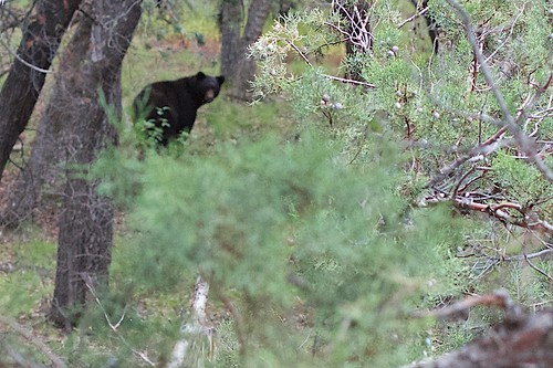
I think building this new road is a complete waste of taxpayer money, as was the purchase of the easement. (Longer story on that which I’m not going to detail here.) There are ways to achieve everyone’s goals at a lower cost. However, like many others, the USFS seems unfamiliar with ideas of sunk costs, transparency, and consensus. Further, I think that the building the new road will be harmful to animal and plant life. In addition, it seems likely that Sunrise Road will have damage from additional water runoff.

The good news is that it seems unlikely that any construction is going to happen in the near term. My guess is that it will years. And in that time, who knows what will happen? :)

Take a hike

Sunday, February 4th, 2018

Yesterday, we took a 16.5 mile hike from our doorstep back through Horseshoe Canyon, then to the south and back out of the mountains through Jackwood Canyon.

Strangely, though it is so close, we’ve never been through Jackwood Canyon. I suspect that the gate into it from 80 is usually locked but I need to verify this. At any rate, it was a very beautiful hike.

You might remember that we did another long “from our house” hike in preparation for the Grand Canyon. That one ended up being mostly off trail (there supposedly was a trail but it was so seldom used as to be gone) and was very difficult as a result. Looking the maps, you never really know whether a trail will be there or not, and our area is remote enough that many trails have disappeared over the years. This time though we were pleasantly surprised to have a good trail for the entire trip. Much nicer!

We started off from our house and went back into Horseshoe Canyon, a hike we’ve done many times. About 7 miles from our house (5 miles into the canyon), there is an old homestead house. About a half mile past that, there is a branch of the trail/road that goes to the south. This goes to Jackwood Canyon.

Much of the hike followed an old forest service road. While most of it would not be passable even with 4 wheel drive, it was perfect for hiking. The trail/road went south through some beautiful grasslands. It wove behind the mountains and eventually cut through a pass, so there wasn’t even a huge climb.

lunch

We almost made it the whole way without seeing a soul, but about three miles from the end, we were approached by a pickup driven by an old cowboy. He stopped, and we said hi. He started out with a look of deep suspicion on his face (the normal expression here when regarding “strangers”). As we told him where we hiked and where he lived, his expression changed to looking as though he thought we were a bit crazy. Eventually, by the end of our conversation, he had a slight smile and seemed to think we were ok. He proclaimed us “quite fit” and wished us well.

We finished the hike in Apache, where we’d left a car. That’s about 6 miles on Highway 80 to Sunrise.

Oh, and there were lots of cows in Horseshoe.

Here’s a map of the hike.

New hike

Tuesday, July 22nd, 2014

This week, we completed a new hike to the top of Silver Peak. (We’d attempted this before but not reached the summit.) It’s in the Chiricahua Mountains, near Portal, about a half hour from our house.

It’s a fairly strenuous hike. About 10 miles round trip and 3,000 feet gain in elevation. (Yes, Brad is better.)

Here’s the view from the top. (There was even a log book there. That’s neat.)

And a few other pics.

At the top of this thing, there are about 4 flights of stairs to the observation platform.

At the top of this thing, there are about 4 flights of stairs to the observation platform.

Brad at the top

Brad at the top

me at the top

me at the top


DSC_0388


silverpeak

Clicking on this will take you to a detailed map of this hike. (click satellite in upper right for the best view )

The grace of nature

Saturday, September 21st, 2013

Today, we took in a deep drink of the beauty here — the golds, fuschias, and scarlets of the wild flowers; the huge, towering rocks hoodoos; the music of mountain streams swelled from the monsoons; the company of good friends; the exhilaration of knowing that life is sometimes very good.


(more pics here)

With a friend visiting, we drove through the mountains to the Chiricahua National Monument. It’s a short trip we’ve made several times without ever ceasing to be amazed at the surrounding beauty. The land changes radically with the season, the amount of rainfall, the light, and even our moods and the company we have along. Always, it makes me pause and wonder why I spend so much time worrying about things that don’t really matter.

Truly, this kind of beauty, the people we share our lives with, and the stewardship we exercise over both are the things that are essential.

Oh, and today I saw my first bear in Coronado. I’ve heard many stories about how plentiful bears are here. I’ve wanted to see a bear for a long time. This morning, I decided today would be the day. And thanks to Brad’s eagle eyes, we saw a bear.

It was a magnificent bear. Seen through the trees and across a small stream, it was just the distance from which I’d like a see a bear — close enough to get a good look, far enough to make both me and him reasonably comfortable. It was a large bear, larger than I’d expected, with a full, healthy coat and a solid rump. He looked at us, loped a little further up the hill, and then turned to take another look.

image credit: cogdog (Alan Levine) – CC BY SA


The fire and our garden

Thursday, May 12th, 2011

The fire has now burned over 13,000 acres and more than 560 firefighters are here. This fire burned more in 24 hours than the fire last year did in four weeks, due mostly to high winds. Strangely, even given that, we are feeling more secure personally. No homes have been burned, and we have heard that the firefighters have a “high degree” of confidence that they can prevent the fire from getting out onto the flats where we are. Still, seeing the smoke all day and the incredible flames every night is depressing. And we have not yet unpacked our “evacuation box” (pictures, records, a few other things we wouldn’t want to lose). I’m sure we’ll be fine though, so don’t worry!

On a brighter front, the garden is fabulous. We have moved about 14 of the 20 tomato plants outside. We saw the first actual pea-sized tomato today. The eggplants are thriving, and the peas are taller than me. We have edamame coming up, and there are so many volunteer cucumbers from last year that I may not even plant any new ones. Brad’s garlic and asparagus are thriving. Good health all around, so far at least.

Lettuce from our garden

Lettuce from our garden

Peas in the garden

Peas in the garden

Eggplant in the foreground and tomatoes behind them

Eggplant in the foreground and tomatoes behind them

Happy Thanksgiving

Friday, November 27th, 2009

This year, we are thankful to be spending our first holiday season here and grateful that we have made wonderful new friends and have made great progress on our new home.

We spent the holiday with Barry and Elizabeth and a few friends from here. It was a traditional day: football, friends, family, and food (and lots of it).

This week we also made a trip to the nearby Chiricahua National Monument, which is always a delightful trip.

bradanddadandelizabeth2009

A new take on Friday “happy hours”

Saturday, February 7th, 2009

When we lived in California, Brad and I used to occasionally knock off work early on a Friday and go do something fun. (Not that it outweighs all the extra hours we put in, but this is one of the nice side benefits of having our own business.) Often, we went down to the beach or the harbor to walk, people watch, and, of course, eat.

Yesterday, in celebration of finally getting my desk cleaned off, we decided to go out and look for some more abandoned train cars. We found one, but then got sidetracked following a canyon road. This time it was Price Canyon, which is a few miles south of Apache (10 or 15 miles south of where we live.) These canyon roads, like the one our property is on, are all dirt roads that run west off 80, typically starting with with a few miles of beautiful open range land.

As the roads get closer to the Chiricahua Mountains, they meet up with the national forest.

Then the terrain gradually changes to more rocky mountains. This road first went through one of of the densest oak forests I’ve seen. It was beautiful. In general, the road was very good, but as we got back into the forest more, it got rougher, making us glad we have a big truck. There were some dry rock creek beds that were easy to imagine as rushing rivers in the wet season.

We saw a couple beautiful whitetail deer and many birds. Back in the forest, the rock walls and mountain faces were stunning. We can’t wait to come back and hike here. (From the end of the road, it’s 6 miles to Sentinel Peak and 9 miles to Rucker Lake.) There were some astoundingly tall pines as well. It is amazing how fast the flora changes here.

This was a pretty long road, going about 10 miles back before it ended at a trailhead that we can’t wait to hike and explore more. I rode most of the way back standing in the back of the truck bed (“safari-ing” as we call it), shooting some video. (Stay tuned for the video; I have a big work project to get through first.)

The day finished with us driving back into a beautiful sunset.

I have a feeling this will be the start of some great new Friday “happy hours,” possibly extending into some nice long weekend backpack trips. :)