Last weekend, we went on a hike in Price Canyon (which is south of Horseshoe and north of Rucker, about 20 minutes from here) and were delighted to find Price spring running. It was beautiful and a hike we’ll do again. It’s amazing that there are such different kinds of ecosystems so close to us.
With good early spring rains, the poppies are blooming here, and we’re looking forward to warmer temperatures. We had enough rain that my garden greens are thriving even though I’ve neglected them. I’m hoping to have more time in the garden soon!
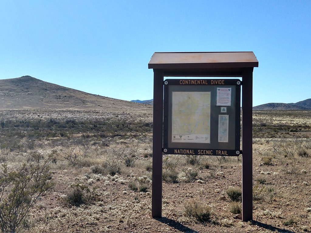
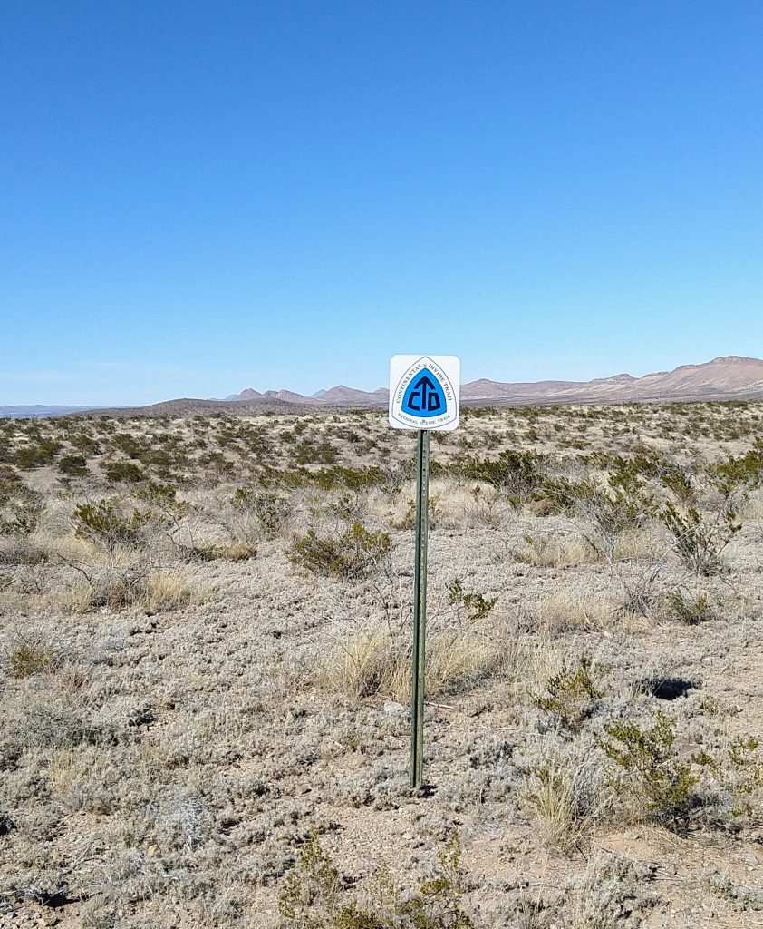
The Continental Divide Trail is one of the US’s National Scenic Trails, and at 3100 miles is longer than either the Appalachian Trail or the Pacific Crest Trail. It is also said to be considerably more difficult, largely because of how remote it is. Many stretches have no settlements, no road access, and no water. (For a good book about this, see Where the Waters Divide: A 3,000 Mile Trek Along America’s Continental Divide by Karen Berger and Daniel R. Smith.)
We are lucky to have access to this trail less than an hour from our house. In fact, its start at the Mexican border isn’t far from here. We also pass a trail crossing on our way to Silver City. We have thought about hiking parts of this many times, but for one reason or another, we hadn’t — until yesterday.
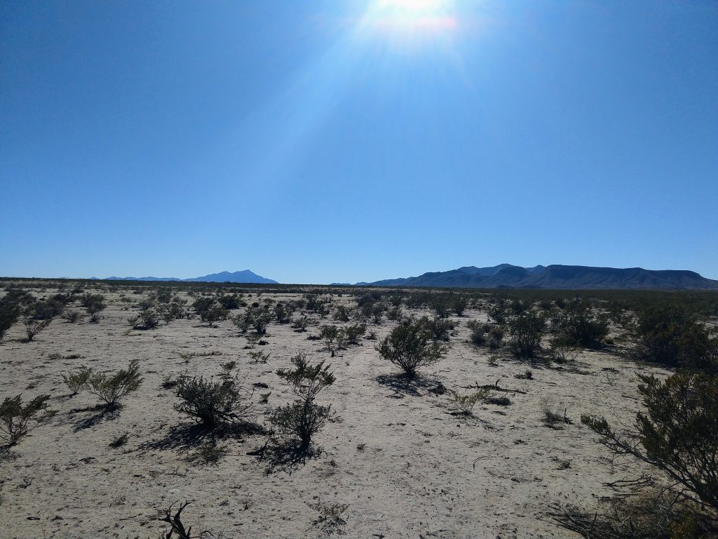
The closest trail access to us is where it crosses Highway 9 east of Animas. We parked there and walked south about 6 miles or so and back. It was a beautiful day, and we enjoyed the hike.
One pleasant surprise is that the trail, while not always easy to see itself, is extremely well marked with signs every 100 yards or so. I don’t know if this it true everywhere along the trail, but it made the trail here simple to follow, which is often not the case for trails here.
Hiking this trail made me revisit a long-held fantasy of through-hiking a long trails. A couple years ago, while waiting for a train from Lordsburg, I met a guy who had been hiking the CDT. He was ex-military, in good condition, and thought he was ready for the task. He made it to about Silver City before having to be rescued. This trail is not for the unprepared. Lack of water and extreme heat and cold make it very challenging.
I don’t know if I’ll ever hike a trail like this in its entirety, but I am definitely looking forward to future day hikes here and also some overnight backpack trips.
Future places we plan to hike more of the CDT include the north from highway 9, north from the start at the Mexican border (you can drive to the start though it involves 20 miles or so of unpaved back roads), and several places up toward Silver City.
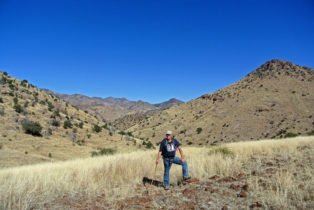
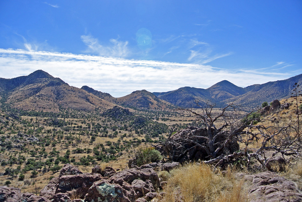
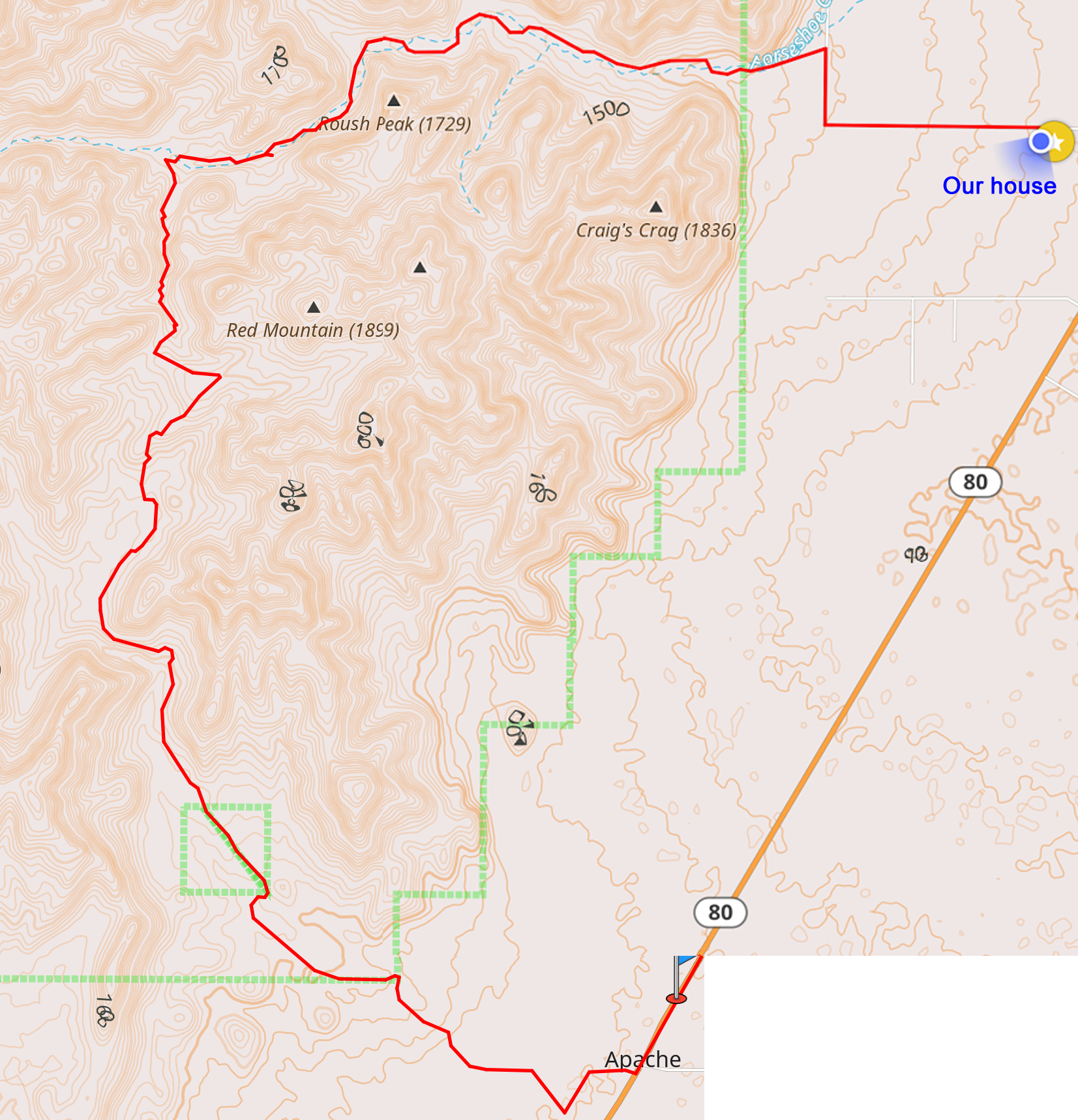
Yesterday, we took a 16.5 mile hike from our doorstep back through Horseshoe Canyon, then to the south and back out of the mountains through Jackwood Canyon.
Strangely, though it is so close, we’ve never been through Jackwood Canyon. I suspect that the gate into it from 80 is usually locked but I need to verify this. At any rate, it was a very beautiful hike.
You might remember that we did another long “from our house” hike in preparation for the Grand Canyon. That one ended up being mostly off trail (there supposedly was a trail but it was so seldom used as to be gone) and was very difficult as a result. Looking the maps, you never really know whether a trail will be there or not, and our area is remote enough that many trails have disappeared over the years. This time though we were pleasantly surprised to have a good trail for the entire trip. Much nicer!
We started off from our house and went back into Horseshoe Canyon, a hike we’ve done many times. About 7 miles from our house (5 miles into the canyon), there is an old homestead house. About a half mile past that, there is a branch of the trail/road that goes to the south. This goes to Jackwood Canyon.
Much of the hike followed an old forest service road. While most of it would not be passable even with 4 wheel drive, it was perfect for hiking. The trail/road went south through some beautiful grasslands. It wove behind the mountains and eventually cut through a pass, so there wasn’t even a huge climb.
lunch
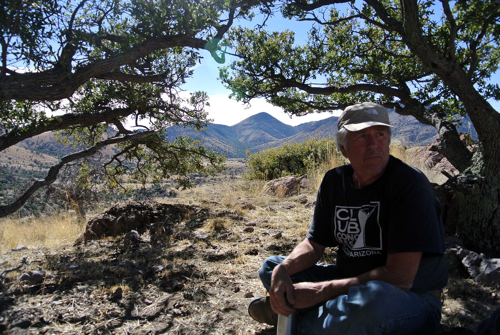
We almost made it the whole way without seeing a soul, but about three miles from the end, we were approached by a pickup driven by an old cowboy. He stopped, and we said hi. He started out with a look of deep suspicion on his face (the normal expression here when regarding “strangers”). As we told him where we hiked and where he lived, his expression changed to looking as though he thought we were a bit crazy. Eventually, by the end of our conversation, he had a slight smile and seemed to think we were ok. He proclaimed us “quite fit” and wished us well.
We finished the hike in Apache, where we’d left a car. That’s about 6 miles on Highway 80 to Sunrise.
We were heading out to the Chiracahuas Sat. morning to hike (pics below), and we saw a produce stand set up on the side of the road. (Brad had read about this on a flyer at the post office, but I couldn’t believe it. Produce in Jan., when it’s in the 20s at night? The farmers markets around here don’t open until May or June.) We stopped and found a small selection of things and bought a bag of arugula and a bag of chard. The guy who runs the stand grows it in a big greenhouse that it turned out is only a couple miles from our property.
After our hike, we went home and made dinner, which included a salad. That arugula was amazing! We are looking forward to getting more.
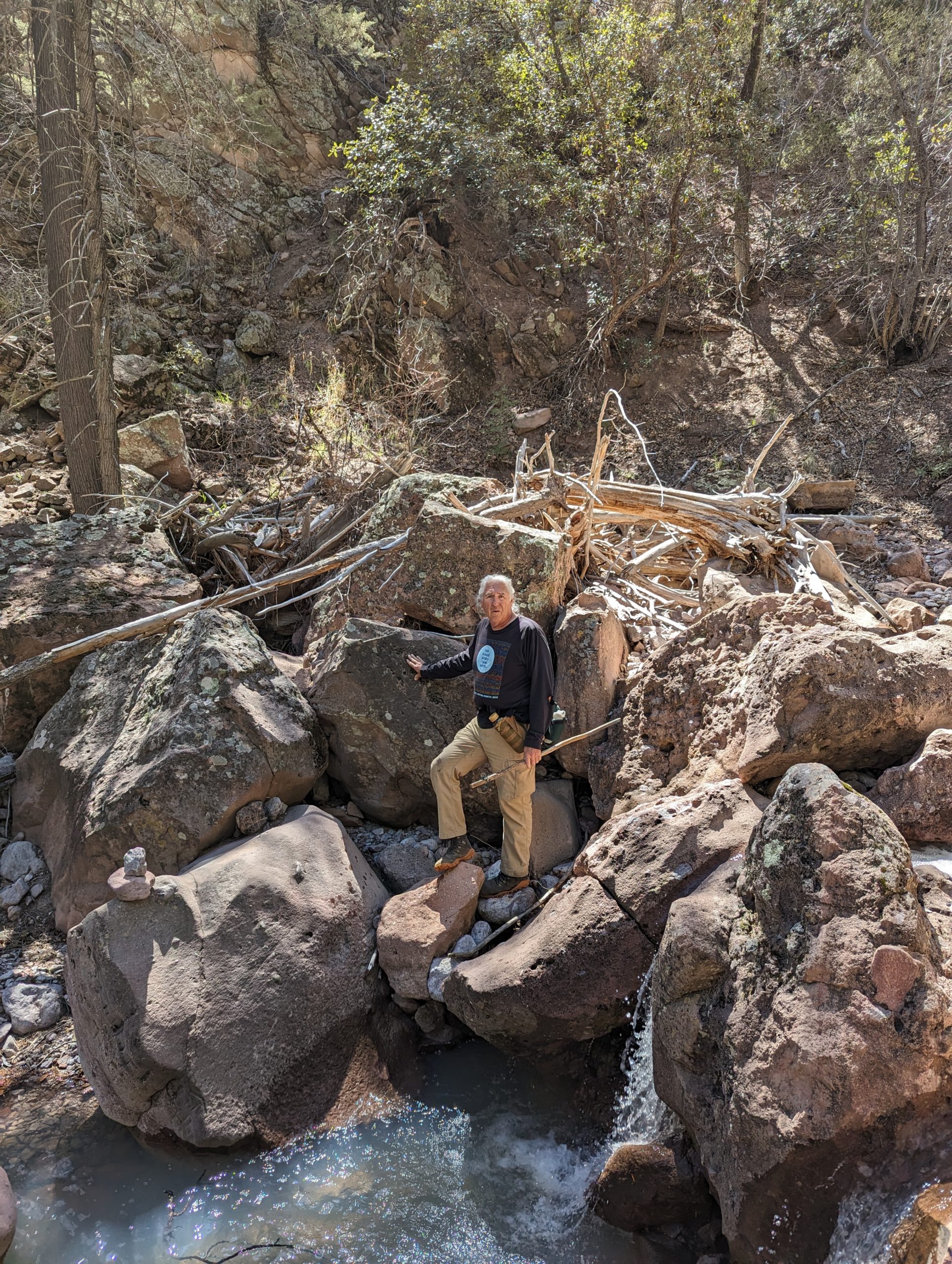
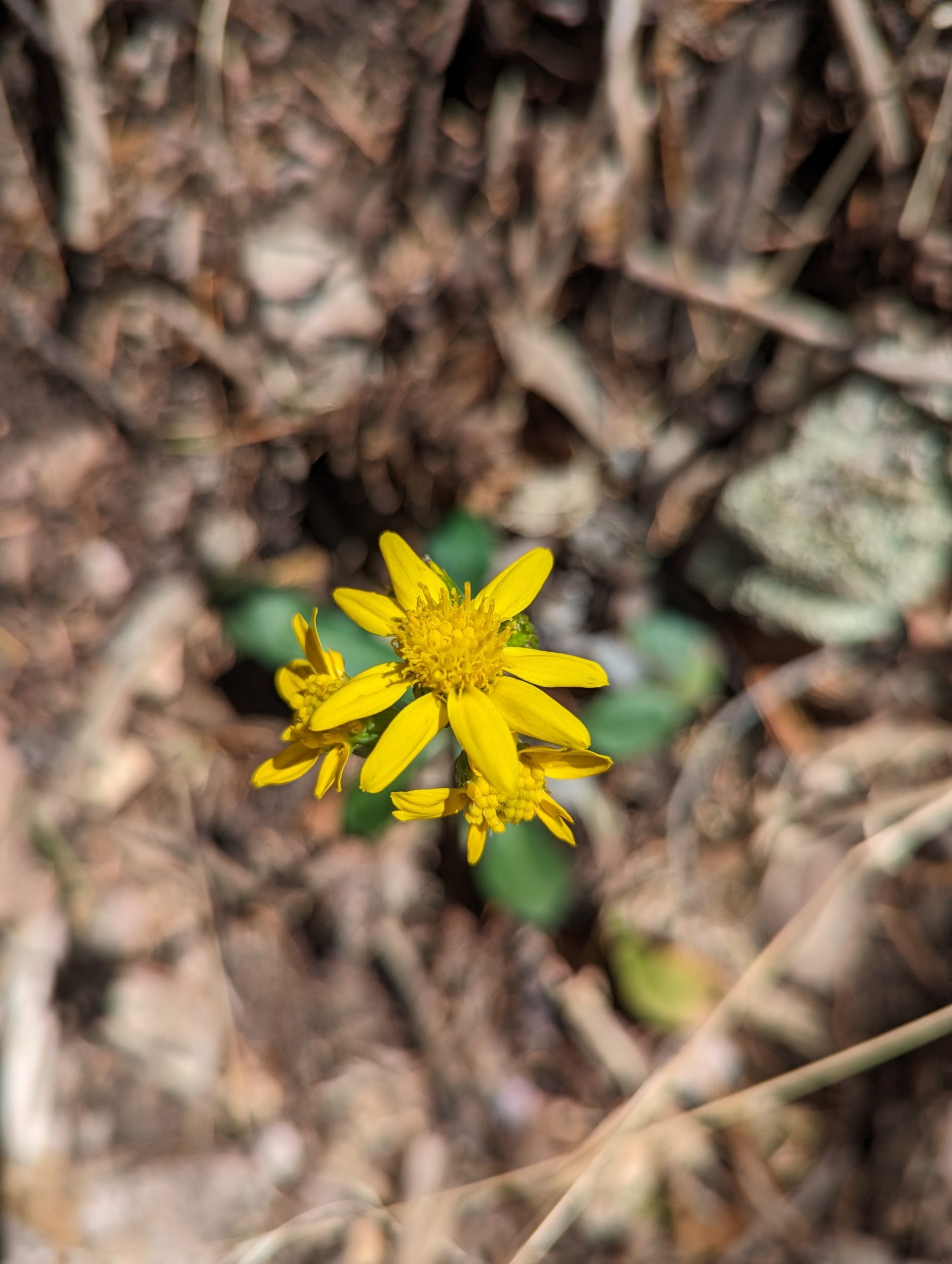
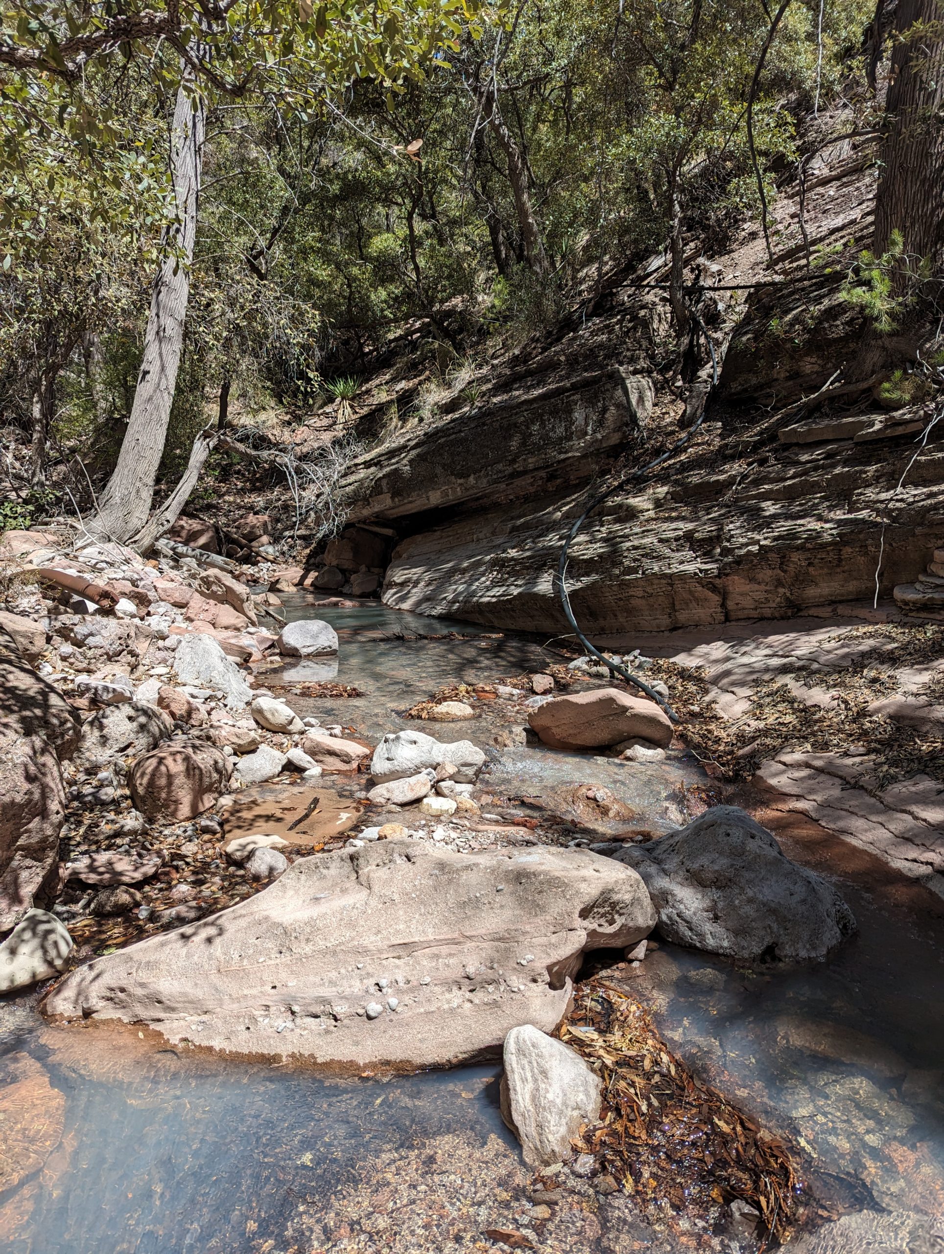
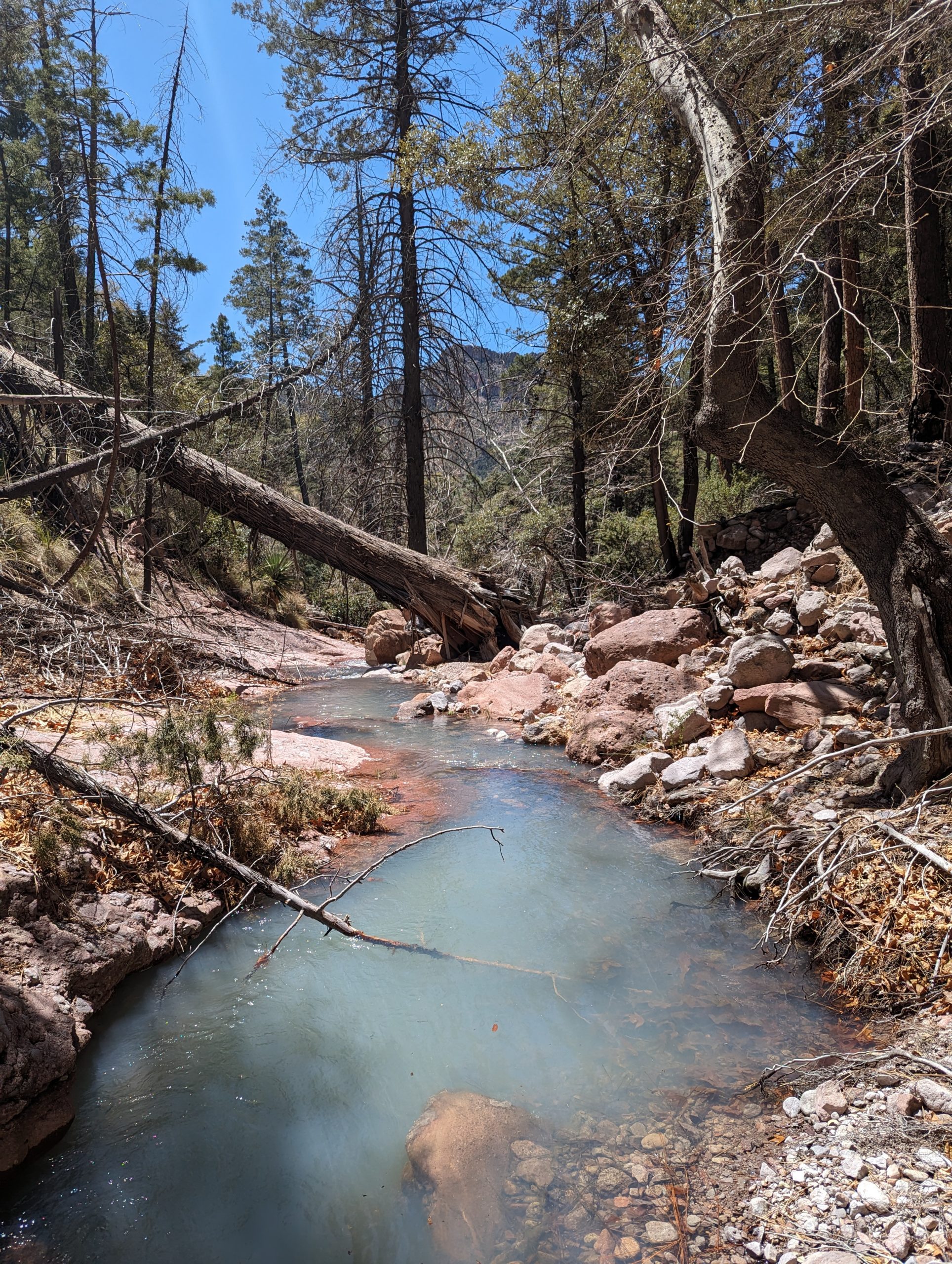
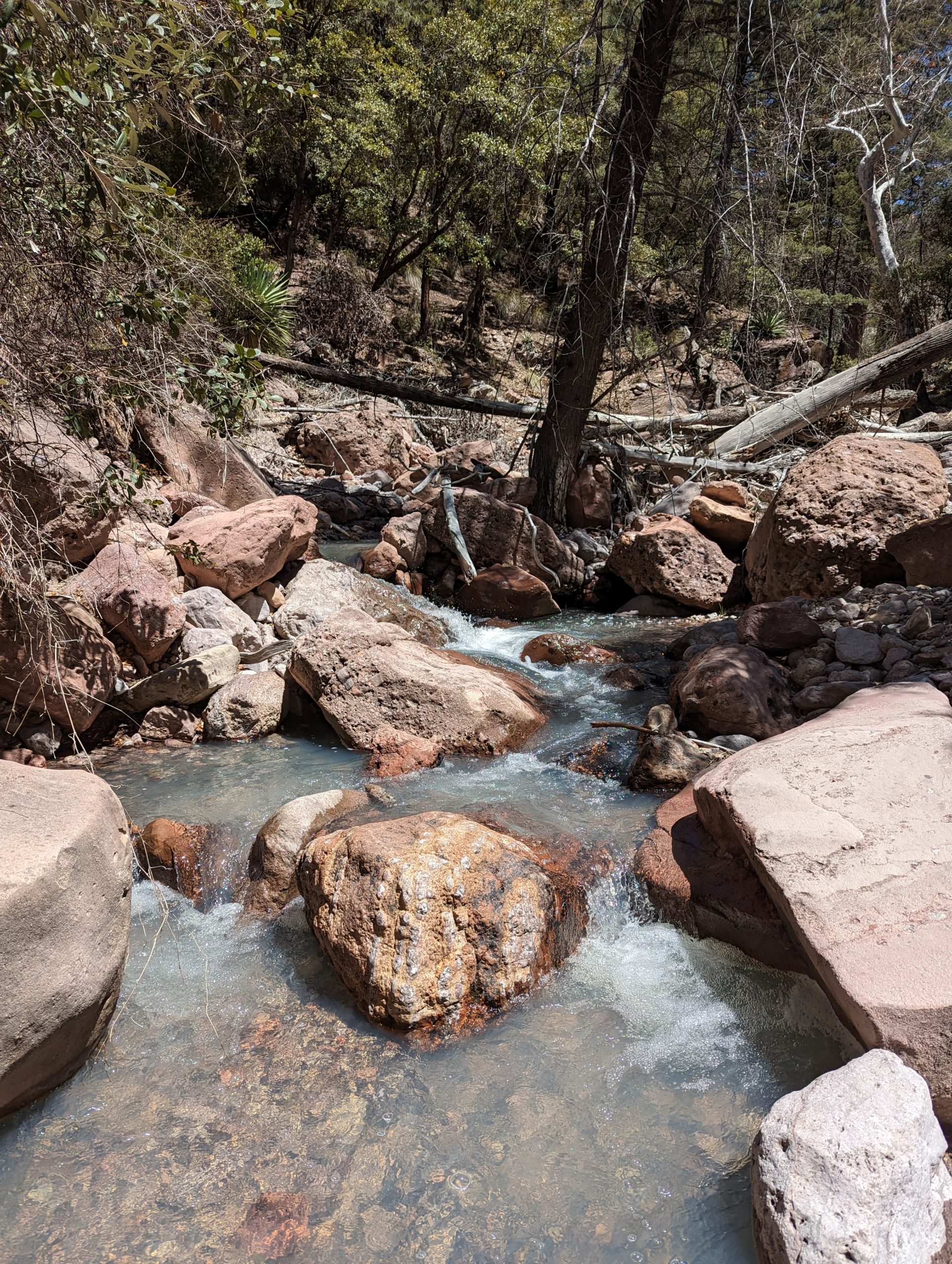
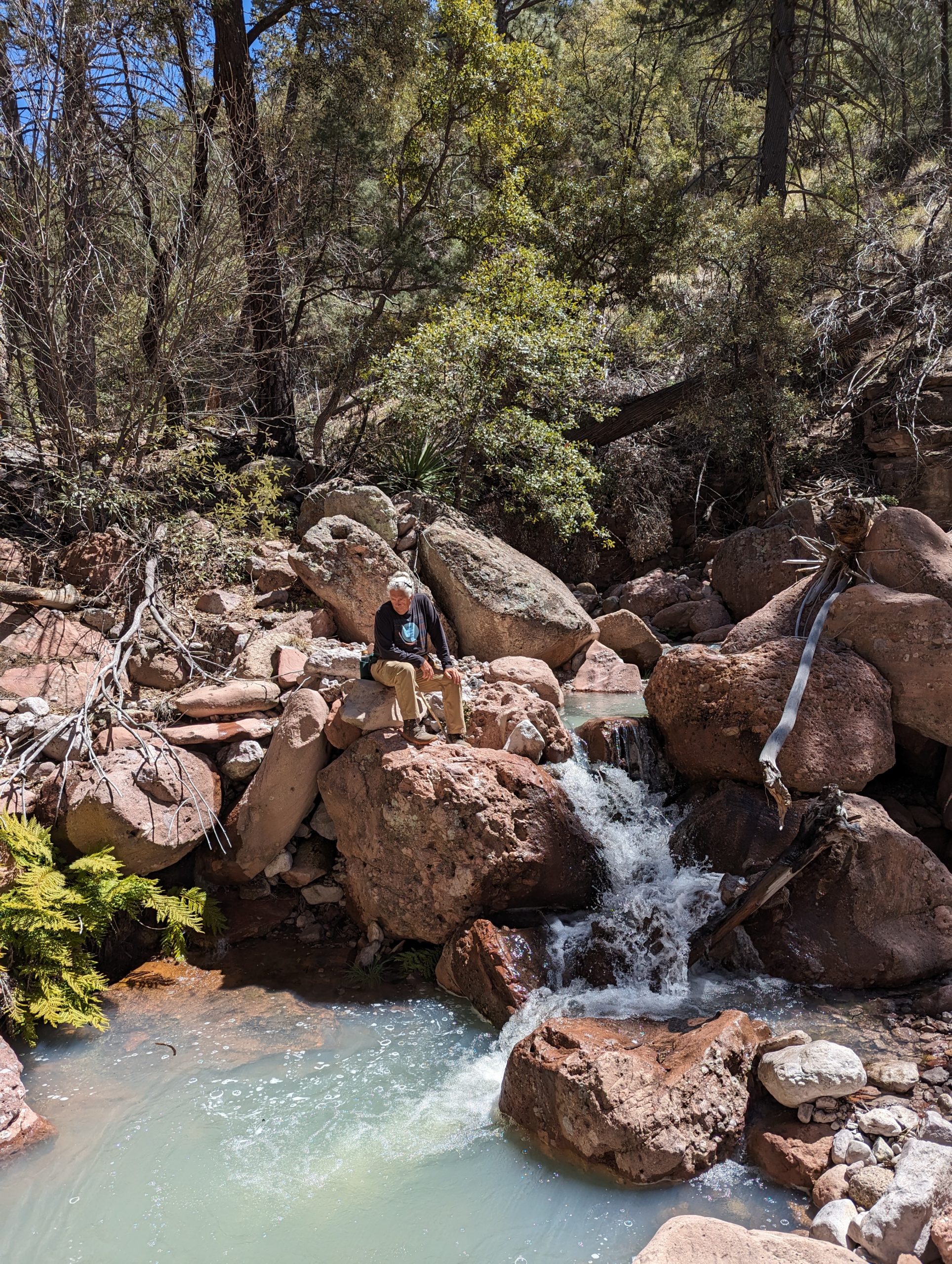
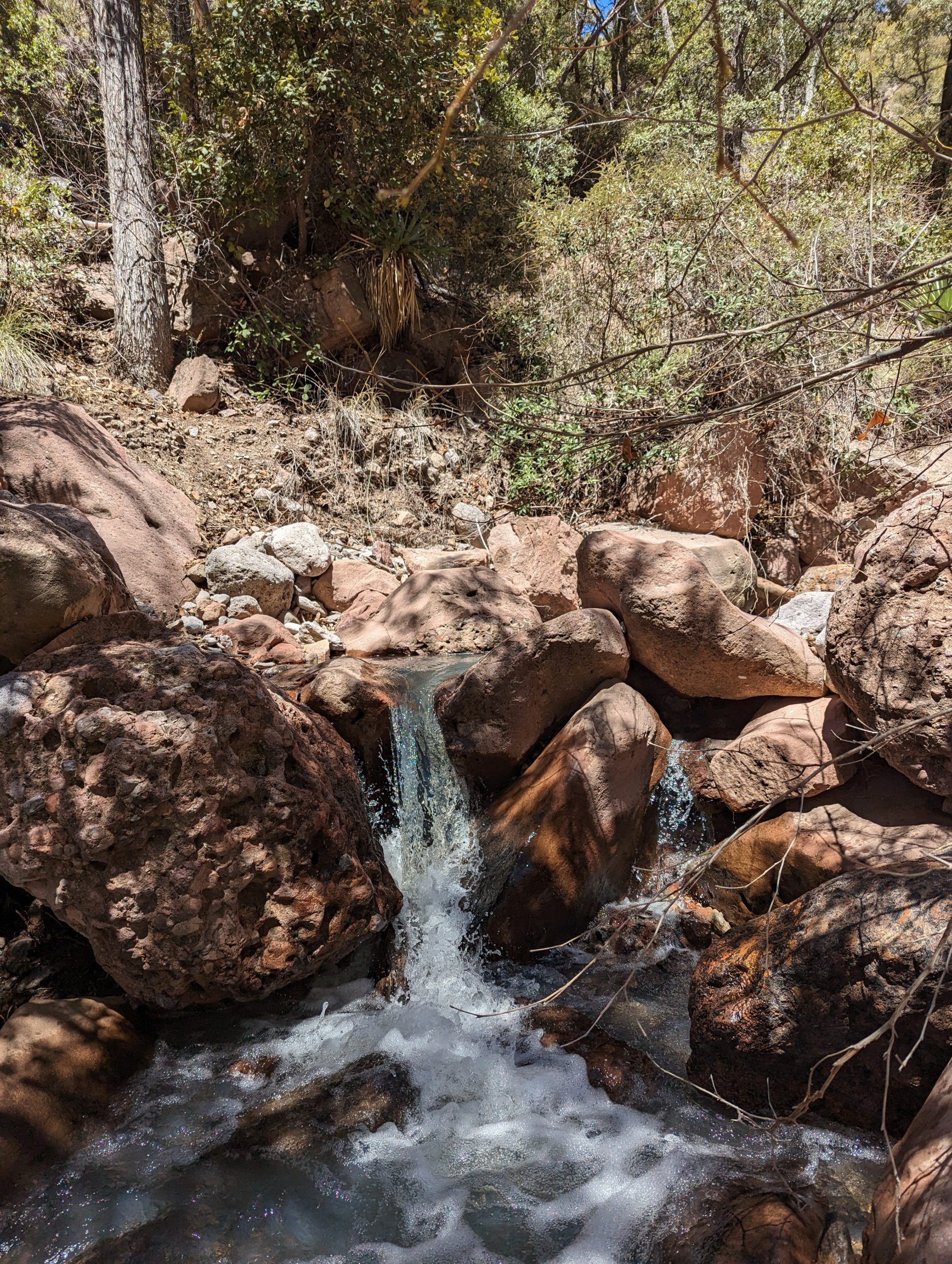
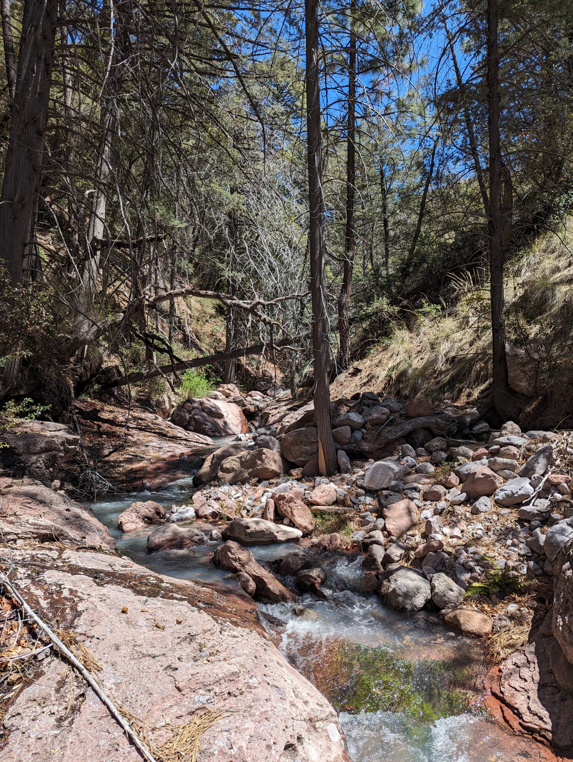
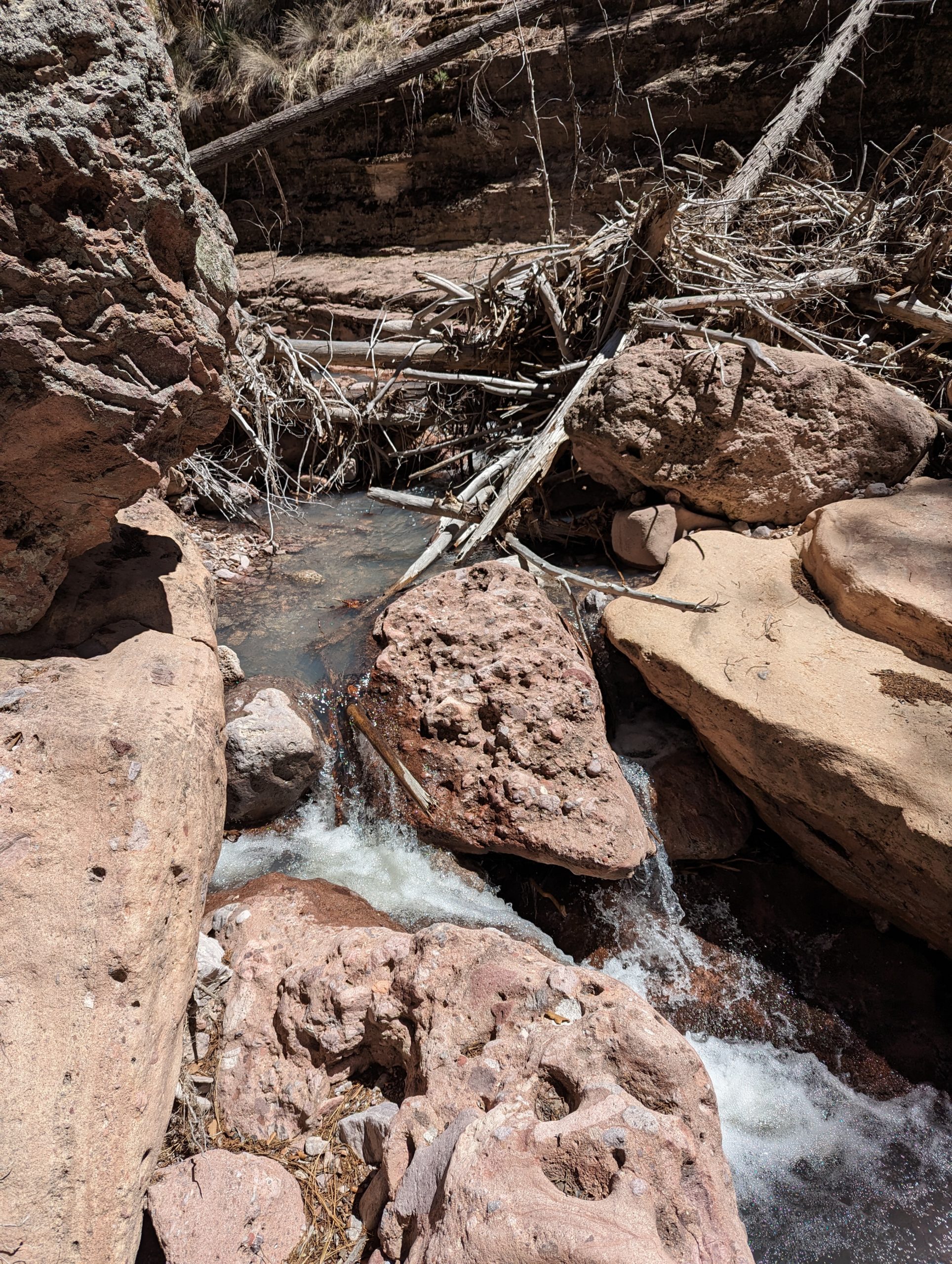
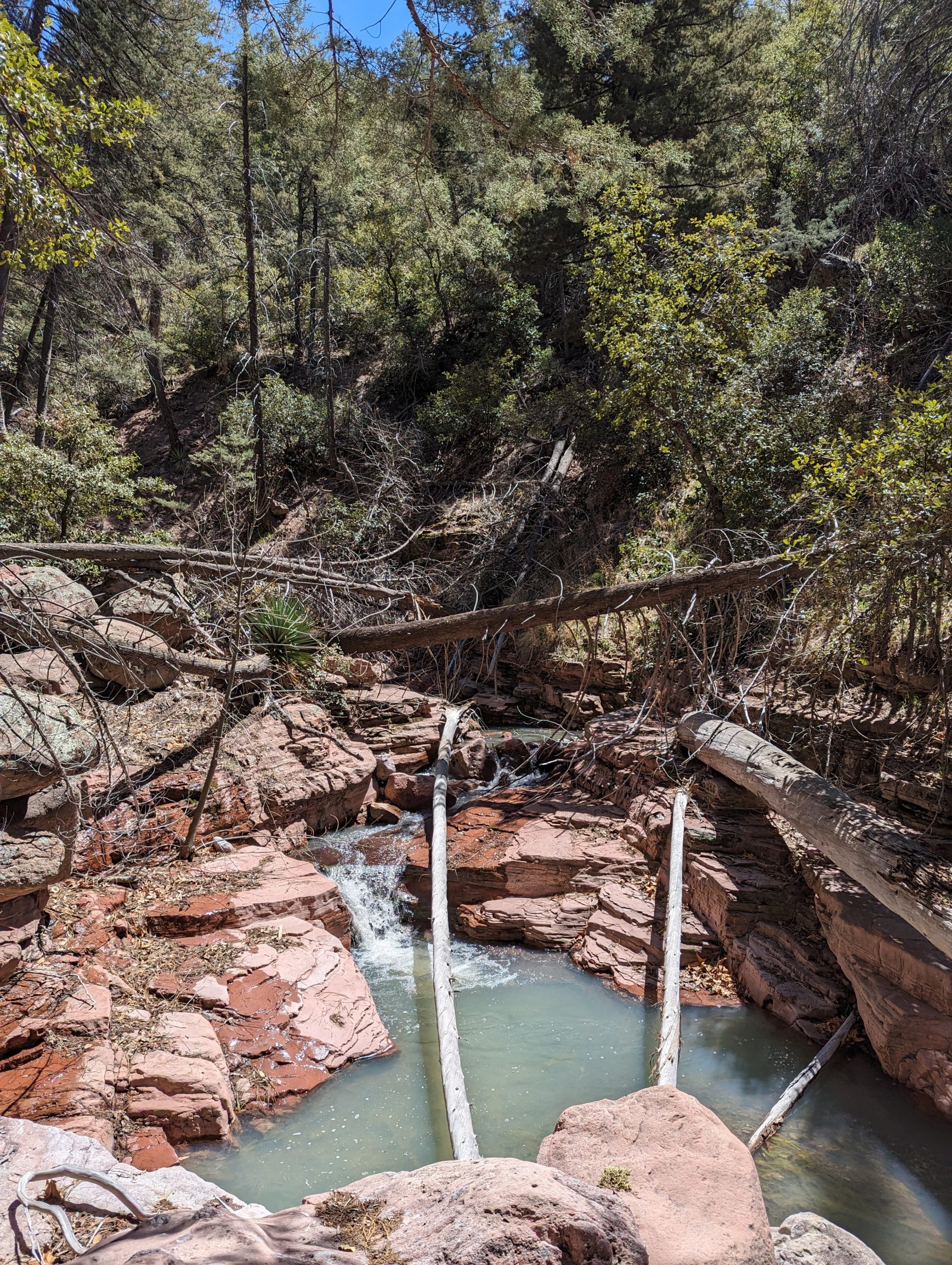
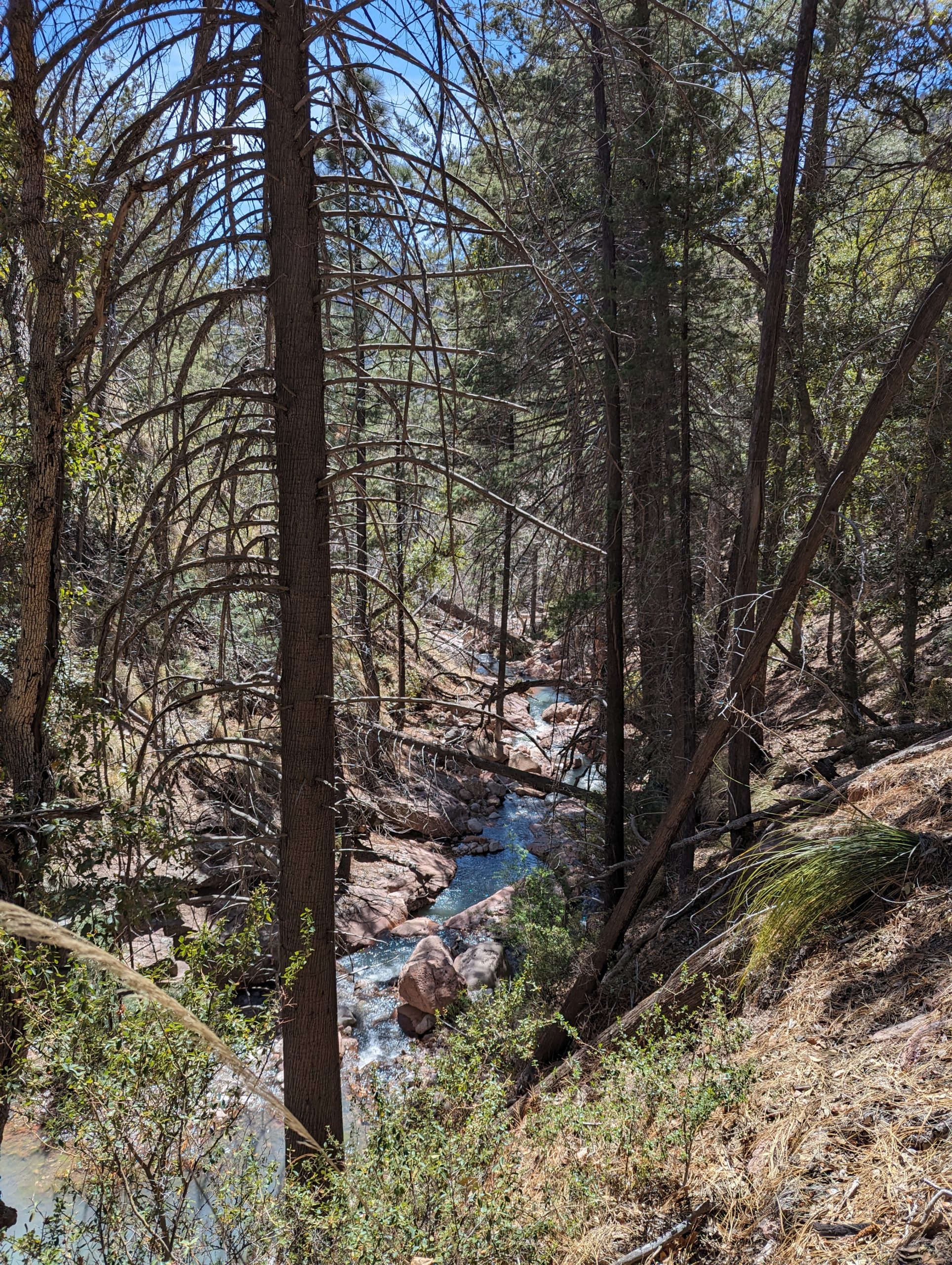
These pictures are from the South Fork part of the Chiracahuas. You can get to it by driving into the park past Portal. It also connects to Horseshoe Canyon on the back side. (This is roughly 7 or 8 miles from our property. Some day we’ll do a big hike or even a backpacking trip back here.)